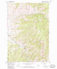
1964 Map of Robbins Gulch
USGS Topo · Published 1985About this map
The East Fork Bitterroot River winds through the southwestern corner of this survey, defining the valley floor where the settlement of Conner and the Conner Ch are located. This mid-1960s snapshot shows a landscape where timber and transit intersect, highlighted by the presence of a Landing Strip and a Gaging Sta near the riverbanks. The terrain rises sharply from the river into the Bitterroot National Forest, where a network of gulches and draws, including the evocatively named Moonshine Gulch and Whiskey Gulch, carve through the ridges toward heights like Doran Point.
Find a feature on this map
42 named features on this map. Tap any name to fly to it.
Don’t see what you’re looking for? This feature index may not catch every label — zoom into the map to look around manually.
Map Details
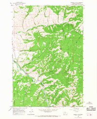
Editions of this 1964 Robbins Gulch Map
2 editions found
Other maps of this area

1901 · Hamilton
USGS Topo · 1:125,000

1909 · Sapphire
USGS Topo · 1:125,000

1947 · Butte
USGS Topo · 1:250,000

1955 · Dillon
USGS Topo · 1:250,000

1956 · Elk City
USGS Topo · 1:250,000

1956 · Hamilton
USGS Topo · 1:250,000

1957 · Dillon
USGS Topo · 1:250,000

1958 · Butte
USGS Topo · 1:250,000

1958 · Dillon
USGS Topo · 1:250,000

1959 · Hamilton
USGS Topo · 1:250,000