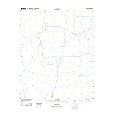
2012 Map of Robbs
USGS Topo · Published 2012About this map
The Skuna River valley forms the southern geography of this Pontotoc County area, where the terrain is defined by several northward-reaching tributaries including Kittahutty Cr, Hardin Cr, and Indian Cr. The landscape is primarily rural, anchored by the crossroads settlements of Robbs, Matthews, and Buckhorn. Genealogists and local historians will find significant detail in the distribution of family-named burial grounds across the township, such as Blount Cem and Hunters Cem.
Find a feature on this map
56 named features on this map. Tap any name to fly to it.
Don’t see what you’re looking for? This feature index may not catch every label — zoom into the map to look around manually.
Map Details
Editions of this 2012 Robbs Map
This is the sole edition of this map. No revisions or reprints were ever made.
Other maps of this area

1953 · West Point
USGS Topo · 1:250,000

1954 · Pittsboro
USGS Topo · 1:62,500

1956 · Tupelo
USGS Topo · 1:250,000

1958 · Tupelo
USGS Topo · 1:250,000

1958 · West Point
USGS Topo · 1:250,000

1963 · West Point
USGS Topo · 1:250,000

1972 · Houlka
USGS Topo · 1:24,000

1972 · Robbs
USGS Topo · 1:24,000

1972 · Vardaman
USGS Topo · 1:24,000

1972 · Randolph
USGS Topo · 1:24,000