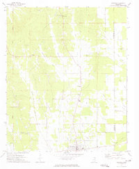
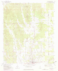
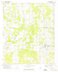
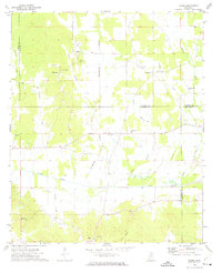
1972 Map of Vardaman
USGS Topo · Published 1974About this map
Vardaman serves as the focal point for this rural pocket of Mississippi during the early 1970s, situated near the boundary where Calhoun Co and Chickasaw Co meet. The landscape is defined by its numerous rural congregations and community centers, including Poplar Springs Ch, Georgies Chapel, and Mt Herman Ch. The terrain is drained by a dense network of waterways like Cane Creek and Hurricane Creek, while industry is represented by scattered Sandpits and a prominent Water Tank in the town center.
Find a feature on this map
24 named features on this map. Tap any name to fly to it.
Don’t see what you’re looking for? This feature index may not catch every label — zoom into the map to look around manually.
Map Details
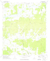
Editions of this 1972 Vardaman Map
2 editions found
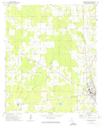
Other maps of this area

1953 · West Point
USGS Topo · 1:250,000
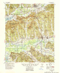
1954 · Pittsboro
USGS Topo · 1:62,500

1956 · Tupelo
USGS Topo · 1:250,000

1958 · Tupelo
USGS Topo · 1:250,000

1958 · West Point
USGS Topo · 1:250,000

1963 · West Point
USGS Topo · 1:250,000
1972 · Houlka
USGS Topo · 1:24,000
1972 · Robbs
USGS Topo · 1:24,000
1972 · Atlanta
USGS Topo · 1:24,000
1972 · Houston West
USGS Topo · 1:24,000