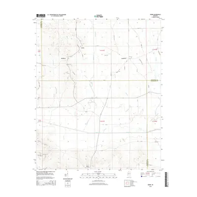
2015 Map of Robbs
USGS Topo · Published 2015About this map
The Skuna River bottomlands define the southern half of this landscape, where the main channel is flanked by the Old River Run and fed by numerous tributaries including Hardin Cr, Caney Br, and Kittahutty Cr. This interior region of Mississippi, situated at the intersection of Pontotoc, Calhoun, and Chickasaw counties, is characterized by a network of rural settlements such as Robbs, Buckhorn, Matthews, and Reid. The map reveals a pattern of ridge-top development and family history, with several burial grounds including Hunters Cem and Rocky Mount Cem situated near the headwaters of small creeks like Lucknuck Cr and Buckday Cr. The road network, including MS-341 and Robbs Rd, follows the higher ground between the creek drainages, providing a detailed view of the rural infrastructure in this part of the state during the early 21st century.
Find a feature on this map
67 named features on this map. Tap any name to fly to it.
Don’t see what you’re looking for? This feature index may not catch every label — zoom into the map to look around manually.
Map Details
Editions of this 2015 Robbs Map
This is the sole edition of this map. No revisions or reprints were ever made.
Other maps of this area

1953 · West Point
USGS Topo · 1:250,000

1954 · Pittsboro
USGS Topo · 1:62,500

1956 · Tupelo
USGS Topo · 1:250,000

1958 · Tupelo
USGS Topo · 1:250,000

1958 · West Point
USGS Topo · 1:250,000

1963 · West Point
USGS Topo · 1:250,000

1972 · Houlka
USGS Topo · 1:24,000

1972 · Robbs
USGS Topo · 1:24,000

1972 · Vardaman
USGS Topo · 1:24,000

1972 · Randolph
USGS Topo · 1:24,000