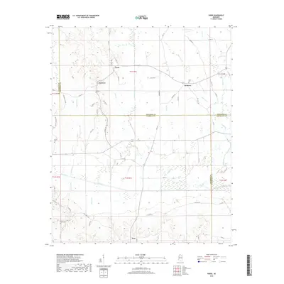
2018 Map of Robbs
USGS Topo · Published 2018About this map
The Skuna River basin defines this rural stretch of Northeast Mississippi where the borders of Pontotoc, Calhoun, and Chickasaw counties converge. The landscape is marked by a complex network of wetlands and tributaries, including the meandering Kittahutty Cr and the distinct loop of Old River Run. Small agrarian settlements like Robbs, Buckhorn, and Matthews anchor the upland areas, connected by a web of county roads such as Robbs Bend and Matthews Ln.
Find a feature on this map
67 named features on this map. Tap any name to fly to it.
Don’t see what you’re looking for? This feature index may not catch every label — zoom into the map to look around manually.
Map Details
Editions of this 2018 Robbs Map
This is the sole edition of this map. No revisions or reprints were ever made.
Other maps of this area

1953 · West Point
USGS Topo · 1:250,000

1954 · Pittsboro
USGS Topo · 1:62,500

1956 · Tupelo
USGS Topo · 1:250,000

1958 · Tupelo
USGS Topo · 1:250,000

1958 · West Point
USGS Topo · 1:250,000

1963 · West Point
USGS Topo · 1:250,000

1972 · Houlka
USGS Topo · 1:24,000

1972 · Robbs
USGS Topo · 1:24,000

1972 · Vardaman
USGS Topo · 1:24,000

1972 · Randolph
USGS Topo · 1:24,000