
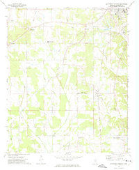
1972 Map of Robbs
USGS Topo · Published 1974About this map
Robbs and the surrounding rural communities of Matthews and Buckhorn are documented here during the early 1970s, situated at the convergence of Calhoun, Pontotoc, and Chickasaw counties. The landscape is defined by the winding course of the Skuna River and its associated Old River Run, which cut through the southern portion of the quadrangle. This area was heavily centered on community and faith, evidenced by the high density of country churches such as Hopewell Ch, Clarks Chapel, and Pilgrims Rest Ch.
Find a feature on this map
32 named features on this map. Tap any name to fly to it.
Don’t see what you’re looking for? This feature index may not catch every label — zoom into the map to look around manually.
Map Details
Editions of this 1972 Robbs Map
This is the sole edition of this map. No revisions or reprints were ever made.
Other maps of this area

1953 · West Point
USGS Topo · 1:250,000

1954 · Pittsboro
USGS Topo · 1:62,500

1956 · Tupelo
USGS Topo · 1:250,000

1958 · Tupelo
USGS Topo · 1:250,000

1958 · West Point
USGS Topo · 1:250,000

1963 · West Point
USGS Topo · 1:250,000

1972 · Houlka
USGS Topo · 1:24,000

1972 · Vardaman
USGS Topo · 1:24,000

1972 · Randolph
USGS Topo · 1:24,000
1972 · Southwest Pontotoc
USGS Topo · 1:24,000