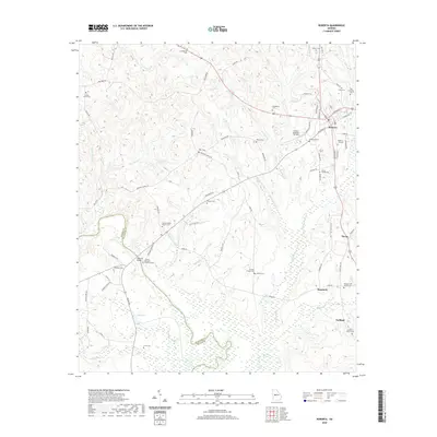
2020 Map of Roberta
USGS Topo · Published 2020About this map
Flint River bottomlands and the swampy lowlands of Magnolia Swamp dominate the southern portion of this region, where the Taylor and Crawford county lines meet. The cultural landscape is anchored by the city of Roberta, located at a significant highway junction in the northeast. This map reveals a high density of rural cemeteries and family burial grounds, such as Flowers Family Cem and the Old Knoxville Cem, providing a detailed record of local genealogy. A unique historical landmark is found near the river: the Colonel Benjamin Hawkins Grave, located just east of Hawkins Bridge. This site honors the U.S. Indian Agent whose presence shaped the early 19th-century history of the area. Away from the river, the terrain rises into upland areas dotted with small communities like Hammett and Gaillard, and modern aviation facilities such as Gentle Landings Air Park.
Find a feature on this map
105 named features on this map. Tap any name to fly to it.
Don’t see what you’re looking for? This feature index may not catch every label — zoom into the map to look around manually.
Map Details
Editions of this 2020 Roberta Map
This is the sole edition of this map. No revisions or reprints were ever made.
Other maps of this area

1951 · Yatesville
USGS Topo · 1:62,500

1955 · Phenix City
USGS Topo · 1:250,000

1956 · Fort Valley
USGS Topo · 1:62,500

1956 · Bolingbroke
USGS Topo · 1:62,500

1957 · Phenix City
USGS Topo · 1:250,000

1957 · Macon
USGS Topo · 1:250,000

1958 · Macon
USGS Topo · 1:250,000

1958 · Phenix City
USGS Topo · 1:250,000

1964 · Macon
USGS Topo · 1:250,000

1971 · Fickling Mill
USGS Topo · 1:24,000