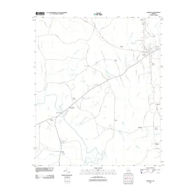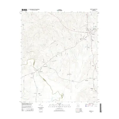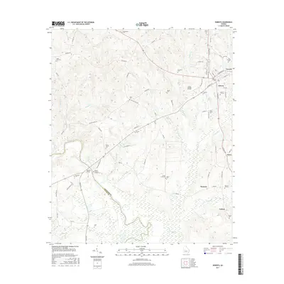
2024 Map of Roberta
USGS Topo · Published 2024About this map
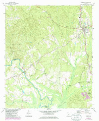
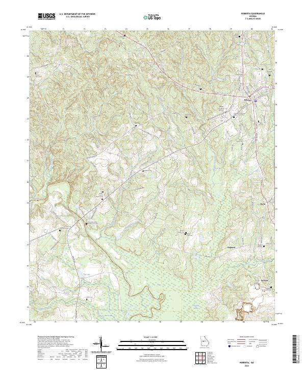
The Colonel Benjamin Hawkins Gravesite stands as a significant historical anchor on the banks of the Flint River, marking the legacy of the federal agent to the Creek Nation in this borderland between Taylor and Crawford counties. The terrain is defined by a dense network of tributaries including Little Beech Creek and Beaver Creek, which flow toward the expansive Magnolia Swamp in the south. The settlement of Roberta serves as the regional hub, characterized by its concentrated grid of streets like Wright Ave and S Dugger Ave.
Find a feature on this map
100 named features on this map. Tap any name to fly to it.
Don’t see what you’re looking for? This feature index may not catch every label — zoom into the map to look around manually.
Map Details
Editions of this 2024 Roberta Map
This is the sole edition of this map. No revisions or reprints were ever made.
Historical Maps of Roberta Through Time
6 maps found