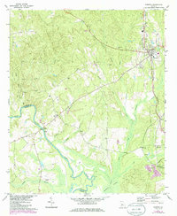
1971 Map of Roberta
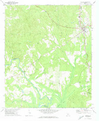
USGS Topo · Published 1986About this map
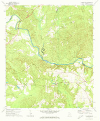
Roberta serves as a central hub in this Georgia landscape, situated at the junction of several key roads and the Southern railway line. The town's surroundings are defined by a network of rural communities and family landmarks, including St James Ch, Lowe Cem, and the Picnic Area to the northwest. To the south, the terrain descends toward the Flint River, which serves as the natural boundary between Crawford and Taylor Counties.
Find a feature on this map
35 named features on this map. Tap any name to fly to it.
Don’t see what you’re looking for? This feature index may not catch every label — zoom into the map to look around manually.
Map Details
Editions of this 1971 Roberta Map
2 editions found
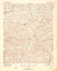
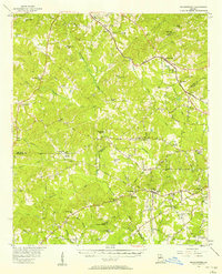
Other maps of this area
1951 · Yatesville
USGS Topo · 1:62,500

1955 · Phenix City
USGS Topo · 1:250,000

1956 · Fort Valley
USGS Topo · 1:62,500
1956 · Bolingbroke
USGS Topo · 1:62,500

1957 · Phenix City
USGS Topo · 1:250,000

1957 · Macon
USGS Topo · 1:250,000

1958 · Macon
USGS Topo · 1:250,000

1958 · Phenix City
USGS Topo · 1:250,000

1964 · Macon
USGS Topo · 1:250,000
1971 · Fickling Mill
USGS Topo · 1:24,000