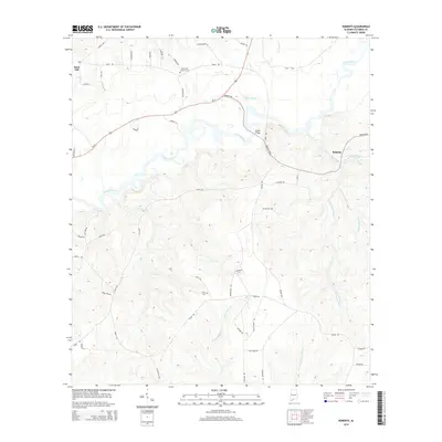
2014 Map of Roberts
USGS Topo · Published 2014About this map
The Conecuh River winds through this Escambia County landscape, defining the topography between Rock Hill and the settlement of Roberts. This 2014 survey documents a predominantly rural region where the river and its numerous tributaries, including Bethea Mill Cr and W Prong Silas Creek, dictate the placement of local roads and crossings such as Parker Bridge. For those researching local heritage, the map identifies several significant burial grounds, including the May Creek Church Cem, Bethel Cem, and Fuqua Cem, which are primary indicators of long-standing community centers. The road network, including the prominent Us-29 corridor and local paths like Whynot RD and Nalty RD, reflects a pattern of agricultural land use and scattered homesteads consistent with this part of southern Alabama.
Find a feature on this map
55 named features on this map. Tap any name to fly to it.
Don’t see what you’re looking for? This feature index may not catch every label — zoom into the map to look around manually.
Map Details
Editions of this 2014 Roberts Map
This is the sole edition of this map. No revisions or reprints were ever made.
Other maps of this area

1943 · Jay
USGS Topo · 1:62,500

1948 · Munson
USGS Topo · 1:62,500

1950 · Munson
USGS Topo · 1:62,500

1953 · Andalusia
USGS Topo · 1:250,000

1957 · Andalusia
USGS Topo · 1:250,000

1957 · Pensacola
USGS Topo · 1:250,000

1959 · Pensacola
USGS Topo · 1:250,000

1959 · Brewton South
USGS Topo · 1:24,000

1960 · Pensacola
USGS Topo · 1:250,000

1960 · Brewton South
USGS Topo · 1:24,000