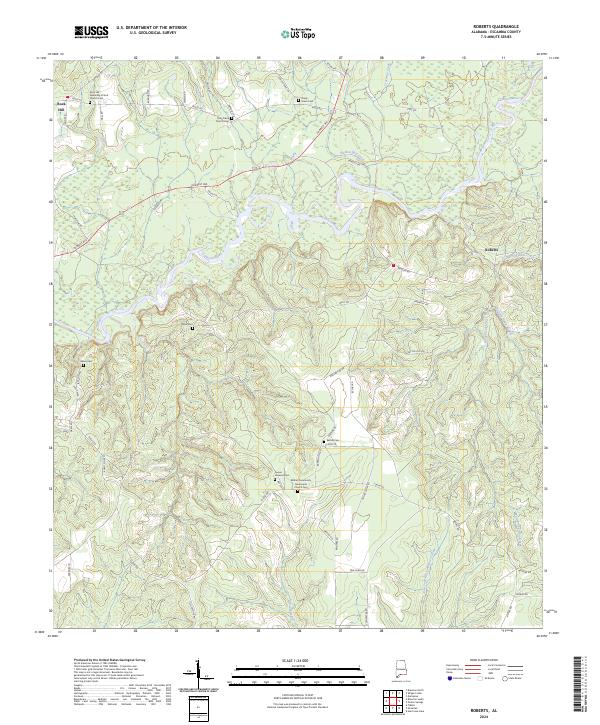
2024 Map of Roberts
USGS Topo · Published 2024About this map
The Conecuh River winds through this section of Escambia County, shaping a landscape defined by its waterways and small, tight-knit communities. The map highlights the settlements of Rock Hill and Roberts, where the presence of numerous family-named and community burial grounds suggests a deep history of local settlement. Genealogists will find a concentration of research-worthy sites including Shady Grove Cem, Spear Cem, and the Rock Hill Assembly of God Church Cem.
Find a feature on this map
69 named features on this map. Tap any name to fly to it.
Don’t see what you’re looking for? This feature index may not catch every label — zoom into the map to look around manually.
Map Details
Editions of this 2024 Roberts Map
This is the sole edition of this map. No revisions or reprints were ever made.
Other maps of this area

1943 · Jay
USGS Topo · 1:62,500

1948 · Munson
USGS Topo · 1:62,500

1950 · Munson
USGS Topo · 1:62,500

1953 · Andalusia
USGS Topo · 1:250,000

1957 · Andalusia
USGS Topo · 1:250,000

1957 · Pensacola
USGS Topo · 1:250,000

1959 · Pensacola
USGS Topo · 1:250,000

1959 · Brewton South
USGS Topo · 1:24,000

1960 · Pensacola
USGS Topo · 1:250,000

1960 · Brewton South
USGS Topo · 1:24,000