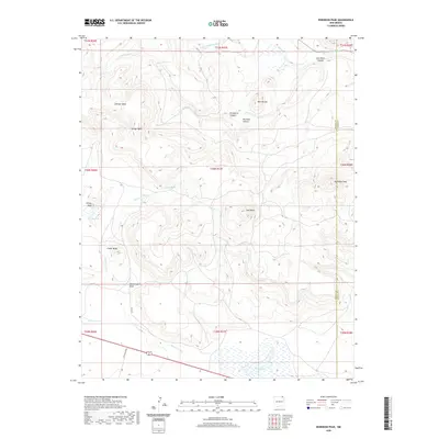
2020 Map of Robinson Peak
USGS Topo · Published 2020About this map
Robinson Peak and the high volcanic plateaus of the northeast corner of New Mexico dominate this landscape along the boundary between Colfax Co and Union Co. The high elevations of Johnson Mesa and Griego Mesa overlook a complex network of drainages and seasonal water sources, including Griego Spring and Chacon Arroyo. The high country is punctuated by distinct landmarks like Jose Butte, Twin Buttes, and Gringo Peak, while the northern reaches are defined by the winding course of the Dry Cimarron River.
Find a feature on this map
31 named features on this map. Tap any name to fly to it.
Don’t see what you’re looking for? This feature index may not catch every label — zoom into the map to look around manually.
Map Details
Editions of this 2020 Robinson Peak Map
This is the sole edition of this map. No revisions or reprints were ever made.
Other maps of this area

1954 · Raton
USGS Topo · 1:250,000

1954 · Dalhart
USGS Topo · 1:250,000

1958 · Raton
USGS Topo · 1:250,000

1958 · Dalhart
USGS Topo · 1:250,000

1962 · Dalhart
USGS Topo · 1:250,000
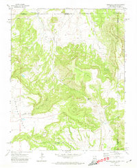
1971 · Trinchera Pass
USGS Topo · 1:24,000

1971 · Kiowa
USGS Topo · 1:24,000
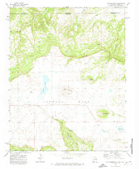
1971 · Dale Mountain
USGS Topo · 1:24,000

1971 · Robinson Peak
USGS Topo · 1:24,000

1971 · Johnson Park
USGS Topo · 1:24,000