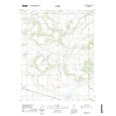
2023 Map of Robinson Peak
USGS Topo · Published 2023About this map
Robinson Peak and a series of volcanic-origin landforms define this high-altitude landscape along the border of Colfax and Union counties. The terrain is characterized by prominent mesa formations, including Johnson Mesa and Griego Mesa, which rise sharply above the surrounding drainages. Water is a defining element of the local geography, seen in the winding paths of Archuleta Creek and the Dry Cimarron River to the north, while the southern reaches feature seasonal bodies like King Lake and Rockwell Lake.
Find a feature on this map
33 named features on this map. Tap any name to fly to it.
Don’t see what you’re looking for? This feature index may not catch every label — zoom into the map to look around manually.
Map Details
Editions of this 2023 Robinson Peak Map
This is the sole edition of this map. No revisions or reprints were ever made.
Other maps of this area

1954 · Raton
USGS Topo · 1:250,000

1954 · Dalhart
USGS Topo · 1:250,000

1958 · Raton
USGS Topo · 1:250,000

1958 · Dalhart
USGS Topo · 1:250,000

1962 · Dalhart
USGS Topo · 1:250,000
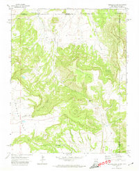
1971 · Trinchera Pass
USGS Topo · 1:24,000

1971 · Kiowa
USGS Topo · 1:24,000
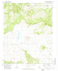
1971 · Dale Mountain
USGS Topo · 1:24,000

1971 · Robinson Peak
USGS Topo · 1:24,000

1971 · Johnson Park
USGS Topo · 1:24,000