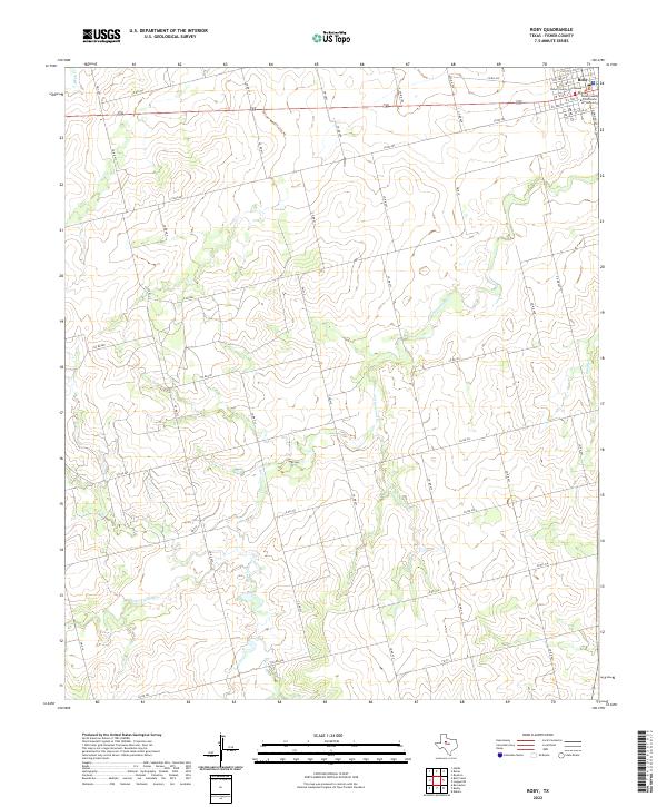
2022 Map of Roby
USGS Topo · Published 2022About this map
Roby serves as the focal point of this Fisher County landscape, where the local government is anchored by the Fisher County Courthouse and the Fisher County Courthouse Annex. The town plan is organized along a grid of numbered streets and avenues, situated at the junction of several key routes including FM 419, FM 2832, and FM 57. Outside the immediate settlement, the terrain is defined by a dendritic network of drainage systems, most notably Cottonwood Cr and its eastern branch, E Cottonwood Cr. These waterways, along with Sandy Cr and Plum Br, carve through the West Texas plains, influencing the placement of the numerous county roads that provide access to rural sections. The map reveals a transition from the concentrated civic life at the courthouse square to the expansive ranch and farm lands that surround the county seat.
Find a feature on this map
52 named features on this map. Tap any name to fly to it.
Don’t see what you’re looking for? This feature index may not catch every label — zoom into the map to look around manually.
Map Details
Editions of this 2022 Roby Map
This is the sole edition of this map. No revisions or reprints were ever made.
Other maps of this area

1893 · Roby
USGS Topo · 1:125,000

1931 · Rotan
USGS Topo · 1:62,500

1932 · Camp Springs
USGS Topo · 1:62,500

1954 · Big Spring
USGS Topo · 1:250,000

1958 · Big Spring
USGS Topo · 1:250,000

1969 · Rotan
USGS Topo · 1:24,000

1969 · Busby
USGS Topo · 1:24,000

1969 · Bull Creek
USGS Topo · 1:24,000

1969 · Bernecker
USGS Topo · 1:24,000
1969 · Hobbs
USGS Topo · 1:24,000