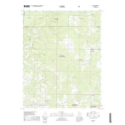
2017 Map of Roby
USGS Topo · Published 2017About this map
Roubidoux Creek and its many tributaries, such as Baker Br and Little Piney Cr, carve through this section of the Ozarks within the Mark Twain National Forest. The landscape is defined by its dramatic relief, featuring prominent elevations like Salt Ridge and deep natural depressions such as Daniels Sinkhole. The southern boundary of Fort Leonard Wood extends into the northern portion of the map, illustrating the intersection of military and protected forest lands.
Find a feature on this map
53 named features on this map. Tap any name to fly to it.
Don’t see what you’re looking for? This feature index may not catch every label — zoom into the map to look around manually.
Map Details
Editions of this 2017 Roby Map
This is the sole edition of this map. No revisions or reprints were ever made.
Other maps of this area

1931 · Manes
USGS Topo · 1:48,000

1941 · Big Piney
USGS Topo · 1:62,500

1941 · Manes
USGS Topo · 1:62,500

1941 · Bado
USGS Topo · 1:62,500

1943 · Big Piney
USGS Topo · 1:62,500

1943 · Manes
USGS Topo · 1:62,500

1943 · Drynob
USGS Topo · 1:62,500

1943 · Bado
USGS Topo · 1:62,500

1954 · Springfield
USGS Topo · 1:250,000

1954 · Drynob
USGS Topo · 1:62,500