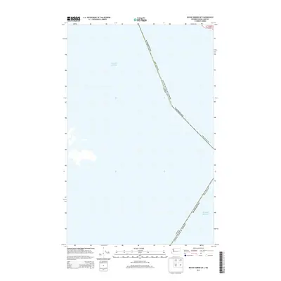
2014 Map of Roche Harbor OE S
USGS Topo · Published 2014About this map
Puget Sound dominates this maritime survey, illustrating the maritime boundary where the United States of America and Canada meet in the Salish Sea. This specific area highlights the international border as it cuts through the open water of the sound, northwest of the San Juan Islands. The map provides a clear look at the jurisdictional division between Washington and British Columbia, specifically marking the aquatic territory belonging to San Juan Co. For researchers or maritime historians, this 2014 edition offers a precise view of the modern international water boundary and the township grid coordinates such as t35n r3w that define this corner of the Pacific Northwest.
Find a feature on this map
4 named features on this map. Tap any name to fly to it.
Don’t see what you’re looking for? This feature index may not catch every label — zoom into the map to look around manually.
Map Details
Editions of this 2014 Roche Harbor OE S Map
This is the sole edition of this map. No revisions or reprints were ever made.
Other maps of this area

1954 · Roche Harbor
USGS Topo · 1:24,000

1954 · Friday Harbor
USGS Topo · 1:24,000

1954 · False Bay
USGS Topo · 1:24,000

1957 · Victoria
USGS Topo · 1:250,000
1979 · Port Angeles
USGS Topo · 1:100,000
1981 · Roche Harbor
USGS Topo · 1:100,000
1998 · False Bay
USGS Topo · 1:24,000
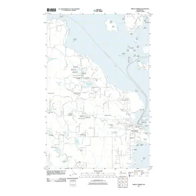
2011 · Friday Harbor
USGS Topo · 1:24,000
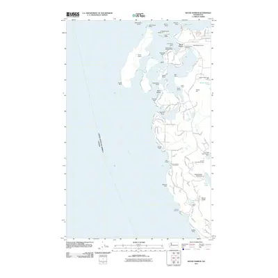
2011 · Roche Harbor
USGS Topo · 1:24,000
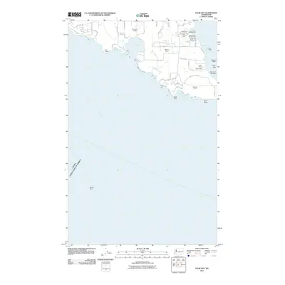
2011 · False Bay
USGS Topo · 1:24,000