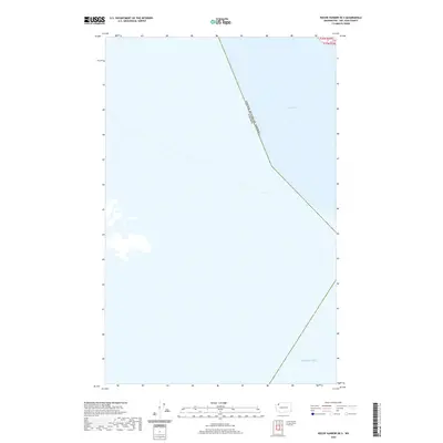
2020 Map of Roche Harbor OE S
USGS Topo · Published 2020About this map
The maritime border between the United States and Canada defines this 2020 navigational perspective, cutting through the open waters of the northern Puget Sound region. The chart is dominated by the expanse of the Haro Strait, a critical waterway for local marine traffic and ecosystem health. To the south, the waters open into the broader Salish Sea, highlighting the international boundary that separates Washington state from British Columbia. While terrestrial features are absent, the map documents the modern legal and environmental division of these shared waters, emphasizing the deep-water channels that have shaped the Pacific Northwest's maritime history and international relations for generations.
Find a feature on this map
4 named features on this map. Tap any name to fly to it.
Don’t see what you’re looking for? This feature index may not catch every label — zoom into the map to look around manually.
Map Details
Editions of this 2020 Roche Harbor OE S Map
This is the sole edition of this map. No revisions or reprints were ever made.
Other maps of this area

1954 · Roche Harbor
USGS Topo · 1:24,000

1954 · Friday Harbor
USGS Topo · 1:24,000

1954 · False Bay
USGS Topo · 1:24,000

1957 · Victoria
USGS Topo · 1:250,000
1979 · Port Angeles
USGS Topo · 1:100,000
1981 · Roche Harbor
USGS Topo · 1:100,000
1998 · False Bay
USGS Topo · 1:24,000
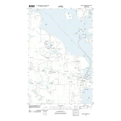
2011 · Friday Harbor
USGS Topo · 1:24,000
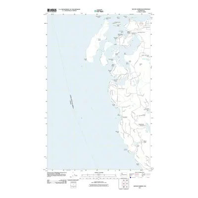
2011 · Roche Harbor
USGS Topo · 1:24,000
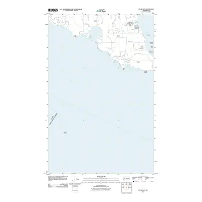
2011 · False Bay
USGS Topo · 1:24,000