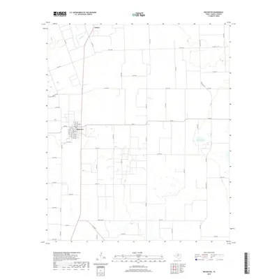
2019 Map of Rochester
USGS Topo · Published 2019About this map
Rochester and the smaller settlement of O'Brien anchor this agricultural landscape in Haskell County, showing a late 2010s grid of county roads and ranch-to-market routes. The town of Rochester is plotted with its central street grid, including its local Po and the nearby Rochester Cem located to the west along Cemetery Road. The topography is largely defined by wide, flat divides between drainage features such as China Br, which cuts across the northwest, and isolated water bodies like Mitchell Lake in the east. This survey documents the modern rural infrastructure of the Texas Rolling Plains, where a dense network of numbered county roads, such as Co RD 165 and Co RD 130, provides access to the expansive agricultural tracts surrounding the concentrated town sites.
Find a feature on this map
62 named features on this map. Tap any name to fly to it.
Don’t see what you’re looking for? This feature index may not catch every label — zoom into the map to look around manually.
Map Details
Editions of this 2019 Rochester Map
This is the sole edition of this map. No revisions or reprints were ever made.
Other maps of this area

1925 · Haskell 3-b
USGS Topo · 1:48,000

1954 · Wichita Falls
USGS Topo · 1:250,000

1958 · Wichita Falls
USGS Topo · 1:250,000

1965 · Jud
USGS Topo · 1:24,000

1966 · Haskell
USGS Topo · 1:24,000
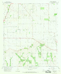
1966 · Pinkerton
USGS Topo · 1:24,000

1967 · Rochester
USGS Topo · 1:24,000

1967 · Weinert
USGS Topo · 1:24,000

1967 · Knox City NW
USGS Topo · 1:24,000

1968 · Munday West
USGS Topo · 1:24,000