
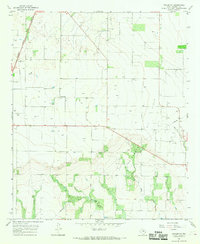
1967 Map of Rochester
USGS Topo · Published 1969About this map
The Atchison Topeka and Santa Fe railroad corridor anchors this mid-century view of Haskell County, running north-south through the hub of Rochester. This area is defined by the intersection of rail transport and an extensive petroleum economy, with Oil Fields and numerous Wells distributed across the landscape. The town of Rochester is shown with its local landmarks, including the Athletic Field, Sewage Disposal, and Water Tanks, providing a look at small-town infrastructure during the 1960s.
Find a feature on this map
20 named features on this map. Tap any name to fly to it.
Don’t see what you’re looking for? This feature index may not catch every label — zoom into the map to look around manually.
Map Details
Editions of this 1967 Rochester Map
This is the sole edition of this map. No revisions or reprints were ever made.
Other maps of this area

1925 · Haskell 3-b
USGS Topo · 1:48,000

1954 · Wichita Falls
USGS Topo · 1:250,000

1958 · Wichita Falls
USGS Topo · 1:250,000

1965 · Jud
USGS Topo · 1:24,000

1966 · Haskell
USGS Topo · 1:24,000
1966 · Pinkerton
USGS Topo · 1:24,000

1967 · Weinert
USGS Topo · 1:24,000

1967 · Knox City NW
USGS Topo · 1:24,000

1968 · Munday West
USGS Topo · 1:24,000
1968 · Knox City
USGS Topo · 1:24,000