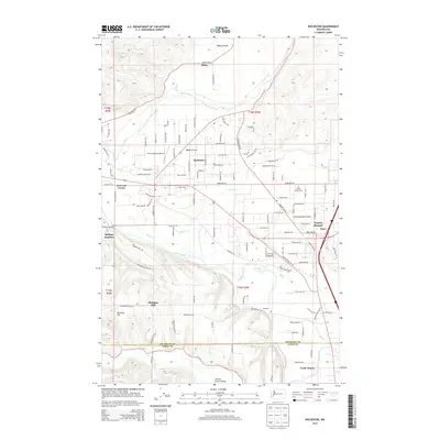
2014 Map of Rochester
USGS Topo · Published 2014About this map
Baker Prairie and the surrounding river bottoms define this section of the South Sound region, where the Chehalis River and Black River converge. The settlement of Rochester serves as a central hub, flanked by smaller communities like Peterson Corner and Helsing Junction. This 2014 survey illustrates the complex drainage system of the area, including Scatter Cr and Mima Cr, which feed into the larger river systems.
Find a feature on this map
64 named features on this map. Tap any name to fly to it.
Don’t see what you’re looking for? This feature index may not catch every label — zoom into the map to look around manually.
Map Details
Editions of this 2014 Rochester Map
This is the sole edition of this map. No revisions or reprints were ever made.
Other maps of this area

1916 · Chehalis
USGS Topo · 1:125,000

1940 · Tenino
USGS Topo · 1:62,500

1941 · Meskill
USGS Topo · 1:62,500

1941 · Gate
USGS Topo · 1:62,500

1944 · Tenino
USGS Topo · 1:62,500

1949 · Tenino
USGS Topo · 1:62,500

1953 · Hoquiam
USGS Topo · 1:250,000

1953 · Rochester
USGS Topo · 1:62,500

1953 · Adna
USGS Topo · 1:62,500

1954 · Centralia
USGS Topo · 1:62,500