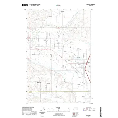
2020 Map of Rochester
USGS Topo · Published 2020About this map
The Chehalis River and its major tributaries define the lowland geography of this section of Thurston and Lewis counties. The terrain is characterized by broad glacial outwash plains, including Mima Prairie, Baker Prairie, and Grand Mound Prairie, which support a network of small agricultural and residential centers. Rochester and Grand Mound serve as the primary hubs, while smaller locales like Mima, Essex, and the rail-oriented Helsing Junction highlight the area's historical transportation and settlement patterns. To the south, the landscape rises into the timbered slopes of Michigan Hill above the Lincoln Creek Valley. In the north, the Black River meanders toward its confluence, while the Grand Mound Cem and R & K Skyranch Airport provide specific points of interest for genealogists and local historians tracking family sites and rural aviation infrastructure.
Find a feature on this map
119 named features on this map. Tap any name to fly to it.
Don’t see what you’re looking for? This feature index may not catch every label — zoom into the map to look around manually.
Map Details
Editions of this 2020 Rochester Map
This is the sole edition of this map. No revisions or reprints were ever made.
Other maps of this area

1916 · Chehalis
USGS Topo · 1:125,000

1940 · Tenino
USGS Topo · 1:62,500

1941 · Meskill
USGS Topo · 1:62,500

1941 · Gate
USGS Topo · 1:62,500

1944 · Tenino
USGS Topo · 1:62,500

1949 · Tenino
USGS Topo · 1:62,500

1953 · Hoquiam
USGS Topo · 1:250,000

1953 · Rochester
USGS Topo · 1:62,500

1953 · Adna
USGS Topo · 1:62,500

1954 · Centralia
USGS Topo · 1:62,500