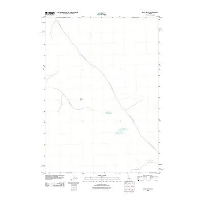
2010 Map of Rock Butte
USGS Topo · Published 2010About this map
Rock Butte rises as a primary landform in this high desert region of Idaho, where the landscape is defined by its arid character and essential water management features. The area's infrastructure centers on a network of unpaved access routes and crucial water storage points like Well Number 2 Reservoir and the Moose Reservoir. These catchments, alongside Cow Pasture Reservoir Number 1 and Cow Pasture Reservoir Number 2, indicate the area's importance for livestock or resource management in a dry environment. Long stretches of road, including the Big Butte Springfield Rd and Cow Pasture Rd, connect these remote landmarks. This 2010 survey reflects a modern view of a sparsely populated terrain where topographic prominence and man-made water sources dictate the human footprint on the land.
Find a feature on this map
8 named features on this map. Tap any name to fly to it.
Don’t see what you’re looking for? This feature index may not catch every label — zoom into the map to look around manually.
Map Details
Editions of this 2010 Rock Butte Map
This is the sole edition of this map. No revisions or reprints were ever made.
Other maps of this area

1955 · Idaho Falls
USGS Topo · 1:250,000

1958 · Idaho Falls
USGS Topo · 1:250,000

1972 · Split Top
USGS Topo · 1:24,000

1972 · Big Southern Butte
USGS Topo · 1:24,000

1972 · Sunset Lake
USGS Topo · 1:24,000

1973 · Scoville
USGS Topo · 1:24,000

1973 · Rock Butte
USGS Topo · 1:24,000

1973 · Atomic City
USGS Topo · 1:24,000

1973 · Lava Lake Reservoir
USGS Topo · 1:24,000

1973 · Coffee Point NE
USGS Topo · 1:24,000