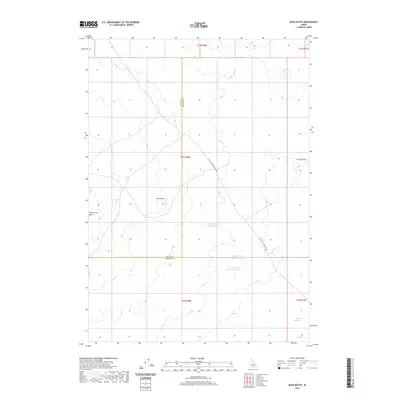
2020 Map of Rock Butte
USGS Topo · Published 2020About this map
Rock Butte and Rock Corral Butte dominate this high-desert landscape in the eastern Snake River Plain, marking a terrain defined by volcanic features and sparse water resources. The boundary between Butte County and Bingham County cuts vertically through the center of the sheet, dividing a region focused on rangeland management. Evidence of local ranching infrastructure is prominent, with several catchment basins scattered across the high ground, including the Cow Pasture Reservoir Number 1, Cow Pasture Reservoir Number 2, and the distant Moose Reservoir. Transportation is limited to the diagonal route of Big Butte Springfield Rd, which provides the primary access through this arid environment. This 2020 survey illustrates the continued importance of water security in the high desert, as seen at the Well Number 2 Reservoir.
Find a feature on this map
14 named features on this map. Tap any name to fly to it.
Don’t see what you’re looking for? This feature index may not catch every label — zoom into the map to look around manually.
Map Details
Editions of this 2020 Rock Butte Map
This is the sole edition of this map. No revisions or reprints were ever made.
Other maps of this area

1955 · Idaho Falls
USGS Topo · 1:250,000

1958 · Idaho Falls
USGS Topo · 1:250,000

1972 · Split Top
USGS Topo · 1:24,000

1972 · Big Southern Butte
USGS Topo · 1:24,000

1972 · Sunset Lake
USGS Topo · 1:24,000

1973 · Scoville
USGS Topo · 1:24,000

1973 · Rock Butte
USGS Topo · 1:24,000

1973 · Atomic City
USGS Topo · 1:24,000

1973 · Lava Lake Reservoir
USGS Topo · 1:24,000

1973 · Coffee Point NE
USGS Topo · 1:24,000