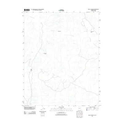
2011 Map of Rock Canyon
USGS Topo · Published 2011About this map
Rock Canyon and its surrounding desert drainages dominate this 2011 survey of the Arizona-Utah border region in Mohave County. The landscape is defined by a complex network of ephemeral waterways, including the prominent Fort Pearce Wash, which snakes through the northern half of the quadrangle, and Clayhole Wash to the east. These intermittent streams are supported by isolated water sources such as Ruesch Spring, Coyote Spring, and Sand Spring, which serve as vital landmarks in an otherwise arid expanse. The topography is marked by deep incisions like Cottonwood Canyon and Black Rock Canyon, illustrating the erosive power of seasonal runoff in this high-desert environment. This map details the primitive road network and natural water features that have historically dictated movement and land use across this borderland territory.
Find a feature on this map
10 named features on this map. Tap any name to fly to it.
Don’t see what you’re looking for? This feature index may not catch every label — zoom into the map to look around manually.
Map Details
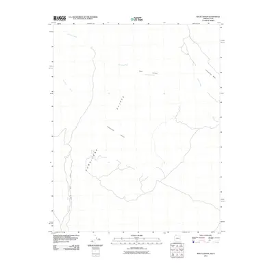
Editions of this 2011 Rock Canyon Map
2 editions found
Other maps of this area

1885 · St. George
USGS Topo · 1:250,000

1886 · Mt. Trumbull
USGS Topo · 1:250,000

1891 · St. George
USGS Topo · 1:250,000

1892 · Mt. Trumbull
USGS Topo · 1:250,000

1953 · Cedar City
USGS Topo · 1:250,000

1953 · Grand Canyon
USGS Topo · 1:250,000

1954 · La Verkin 4 SW
USGS Topo · 1:24,000

1954 · Hurricane Cliffs 2 NW
USGS Topo · 1:24,000

1954 · Hurricane Cliffs 2 NE
USGS Topo · 1:24,000

1954 · La Verkin 3 SE
USGS Topo · 1:24,000