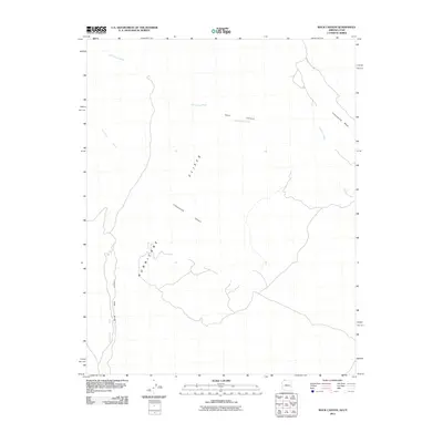
2011 Map of Rock Canyon
USGS Topo · Published 2011About this map
The Honeymoon Trail cuts across the northeastern corner of this Mohave County landscape, following a historic path once used by Mormon settlers traveling between settlements in Arizona and the temple in St. George. The terrain is defined by dramatic verticality, dominated by the massive Hurricane Cliffs that run north-to-south, dividing the high plateau from the lower desert washes. This arid environment is deeply carved by drainage systems including Fort Pearce Wash and Cottonwood Wash, which converge near the eponymous Rock Canyon. The mapping of these washes, such as Clayhole Wash and Hurricane Wash, reveals the natural corridors through which water and travelers have historically moved through these formidable Cliffs. The presence of Black Rock Canyon and Cottonwood Canyon further illustrates the complex erosion patterns that shape this portion of the Arizona Strip.
Find a feature on this map
10 named features on this map. Tap any name to fly to it.
Don’t see what you’re looking for? This feature index may not catch every label — zoom into the map to look around manually.
Map Details
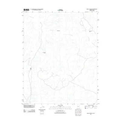
Editions of this 2011 Rock Canyon Map
2 editions found
Other maps of this area

1885 · St. George
USGS Topo · 1:250,000

1886 · Mt. Trumbull
USGS Topo · 1:250,000

1891 · St. George
USGS Topo · 1:250,000

1892 · Mt. Trumbull
USGS Topo · 1:250,000

1953 · Cedar City
USGS Topo · 1:250,000

1953 · Grand Canyon
USGS Topo · 1:250,000

1954 · La Verkin 4 SW
USGS Topo · 1:24,000

1954 · Hurricane Cliffs 2 NW
USGS Topo · 1:24,000

1954 · Hurricane Cliffs 2 NE
USGS Topo · 1:24,000

1954 · La Verkin 3 SE
USGS Topo · 1:24,000