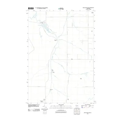
2010 Map of Rock Dam Lake
USGS Topo · Published 2010About this map
Rock Dam Lake and the surrounding drainage of the South Fork Eau Claire River define this rural landscape of northern Wisconsin. The area is characterized by a series of water control structures managed by the county, including the Rock 2WP297 Dam at the lake's outlet and numbered features like Dam Number Twelve and Clark County 16 Dam along Thompson Creek. These dams indicate a managed watershed historically significant for forest and water resource management.
Find a feature on this map
33 named features on this map. Tap any name to fly to it.
Don’t see what you’re looking for? This feature index may not catch every label — zoom into the map to look around manually.
Map Details
Editions of this 2010 Rock Dam Lake Map
This is the sole edition of this map. No revisions or reprints were ever made.
Other maps of this area

1948 · Fairchild
USGS Topo · 1:62,500

1949 · Fairchild
USGS Topo · 1:62,500

1952 · Stanley
USGS Topo · 1:62,500

1953 · Neillsville
USGS Topo · 1:62,500

1953 · Owen
USGS Topo · 1:48,000

1953 · Eau Claire
USGS Topo · 1:250,000

1958 · Eau Claire
USGS Topo · 1:250,000

1963 · Owen
USGS Topo · 1:62,500

1964 · Eau Claire
USGS Topo · 1:250,000
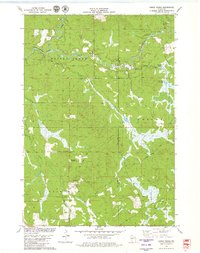
1979 · Horse Creek
USGS Topo · 1:24,000