1985 Map of Rock
USGS Topo · Published 1985About this map
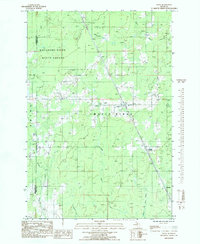
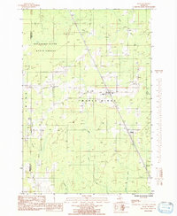
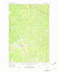
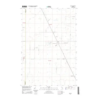
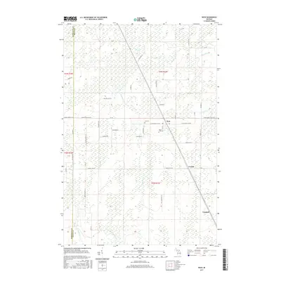
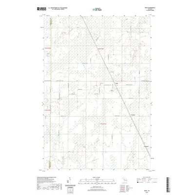
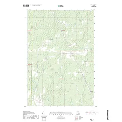
Rock serves as the primary hub of activity in this Upper Peninsula landscape during the mid-1980s, situated at the intersection of local industry and the timberlands of the Escanaba River State Forest. The town's community heritage is rooted in locations like the Old Finn Hall and the Rock Cem, while smaller railroad stops or sidings such as Trombly and Campbell punctuate the transportation corridor to the southeast. The area is defined by a dense network of waterways, including the Rapid River, Days River, and Summer Meadow Creek, which weave through the terrain of Maple Ridge. This survey captures a moment when the region's economy relied on the surrounding forest resources and local infrastructure, visible in features like the Gravel Pit and the various creeks that feed into the larger Escanaba River and Tacoosh River systems.
Find a feature on this map
19 named features on this map. Tap any name to fly to it.
Don’t see what you’re looking for? This feature index may not catch every label — zoom into the map to look around manually.
Map Details
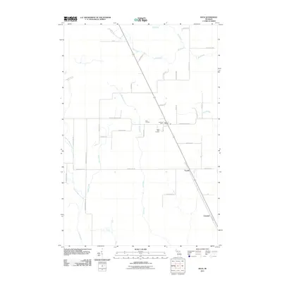
Editions of this 1985 Rock Map
2 editions found
Historical Maps of Campbell Through Time
7 maps found
Featured Locations
- Maple Ridge Township, MI
- Ewing Township, MI
- Rock, Maple Ridge Township
- Trombly, Maple Ridge Township
- Campbell, Maple Ridge Township