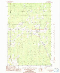
1985 Map of Rock
USGS Topo · Published 1985About this map
Maple Ridge and Ewing townships define the landscape of this 1985 provisional survey, where the Soo Line railroad serves as a central spine through the Upper Peninsula timberlands. The settlement of Rock stands as the primary hub, surrounded by the extensive Escanaba River State Forest. This map documents a transitional period for the rural interior, showing the established Rock Cem and the culturally significant Old Finn Hall, which speaks to the Scandinavian heritage of the region's settlers.
Find a feature on this map
20 named features on this map. Tap any name to fly to it.
Don’t see what you’re looking for? This feature index may not catch every label — zoom into the map to look around manually.
Map Details
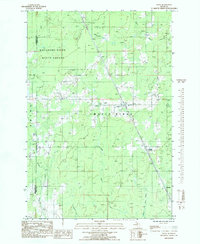
Editions of this 1985 Rock Map
2 editions found
Other maps of this area

1932 · Gladstone NE
USGS Topo · 1:31,680

1932 · Rock SW
USGS Topo · 1:31,680

1932 · Helena NE
USGS Topo · 1:31,680

1932 · Rock NE
USGS Topo · 1:31,680

1932 · Rock SE
USGS Topo · 1:31,680

1932 · Whitney NE
USGS Topo · 1:31,680

1932 · Rock NW
USGS Topo · 1:31,680

1932 · Helena
USGS Topo · 1:31,680

1932 · Gladstone NW
USGS Topo · 1:31,680

1950 · Gladstone NW
USGS Topo · 1:31,680