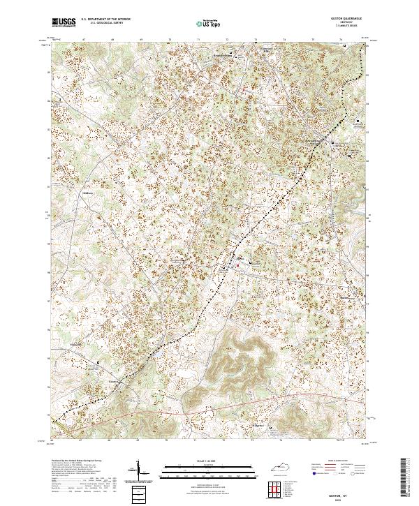
2022 Map of Rock Haven
USGS Topo · Published 2022About this map
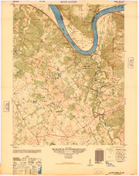
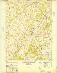
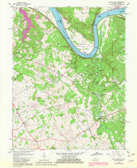
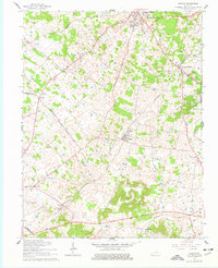
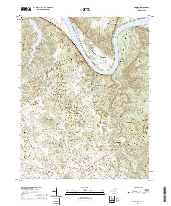
The Narrows of the Ohio River dominates this landscape along the border of Indiana and Kentucky, where the waterway makes a sharp horseshoe bend around the rugged bluffs of Davidson. The settlement of Rock Haven sits on the southern bank, nestled near the mouth of Otter Creek, while the modern residential development around Doe Valley Lake occupies the western portion of the quadrangle. For those researching local history, the map provides extensive documentation of historic burial sites, including the Garnettsville Cem and Old Grahamton Cem, as well as several restricted sites within the Fort Knox military reservation area. The transition from industrial or agricultural valley land to modern lakeside living is evident, particularly near Doe Valley, while rural crossroad communities like Lickskillet and Garrett maintain their traditional character.
Find a feature on this map
146 named features on this map. Tap any name to fly to it.
Don’t see what you’re looking for? This feature index may not catch every label — zoom into the map to look around manually.
Map Details
Editions of this 2022 Rock Haven Map
This is the sole edition of this map. No revisions or reprints were ever made.
Historical Maps of Pilcher Landing Through Time
9 maps found