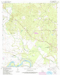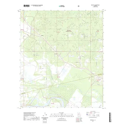
2003 Map of Rock Hill
USGS Topo · Published 2005About this map
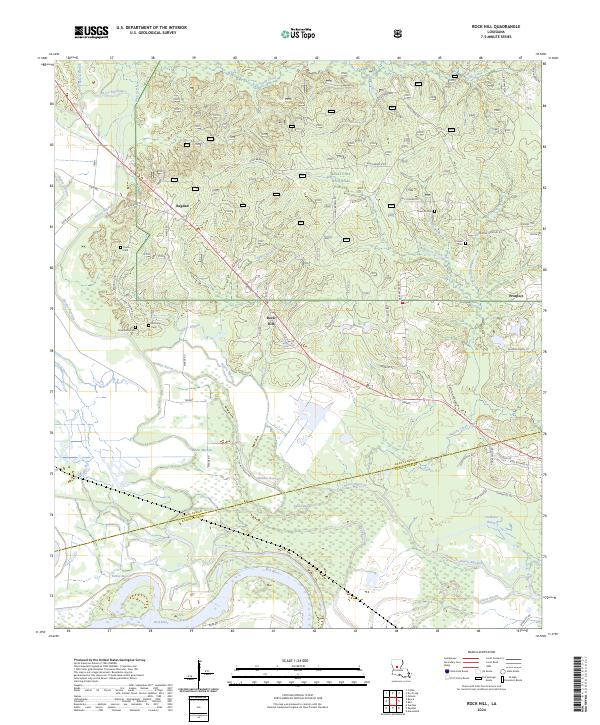
Kisatchie National Forest dominates the northern landscape of this region, where the pine-laden hills of Grant Parish meet the bayou-threaded lowlands of Rapides Parish. The settlement of Bagdad and the namesake high point at Rock Hill anchor a network of rural communities defined by timber and agriculture. The terrain transitions from the upland drainage of Gray Creek and Hudson Branch into a complex system of waterways feeding the southern floodplain. Extensive networks of pipelines and numerous Gravel Pits indicate the industrial footprint of the early 21st century alongside the natural course of the Red River. A high density of rural houses of worship, including Bethlehem Ch, Woodland Ch, and New Prospect Ch, alongside family landmarks like Harrison Camp, reveal a deeply rooted social geography maintained long after the initial topographic surveys of the 1970s.
Find a feature on this map
40 named features on this map. Tap any name to fly to it.
Don’t see what you’re looking for? This feature index may not catch every label — zoom into the map to look around manually.
Map Details
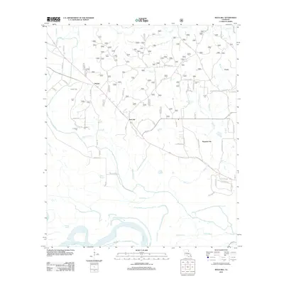
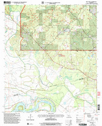
Editions of this 2003 Rock Hill Map
This is the sole edition of this map. No revisions or reprints were ever made.
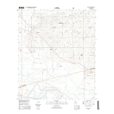
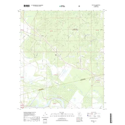
Historical Maps of Bagdad Through Time
7 maps found