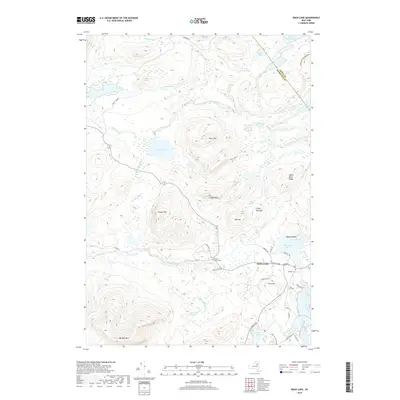
2019 Map of Rock Lake
USGS Topo · Published 2019About this map
Indian Lake serves as the primary hub of this landscape, situated at the junction of the Indian River and the Cedar River. The terrain is defined by a dense concentration of Adirondack peaks and ridges, including the Stark Hills, Ledger Mtn, and Sawyer Mtn. This 2019 survey documents the intricate water network that flows through the Adirondack Park Preserve, connecting remote water bodies like Rock Lake and Barker Pond through winding brooks such as Johnny Mack Brook and Dun Brook.
Find a feature on this map
49 named features on this map. Tap any name to fly to it.
Don’t see what you’re looking for? This feature index may not catch every label — zoom into the map to look around manually.
Map Details
Editions of this 2019 Rock Lake Map
This is the sole edition of this map. No revisions or reprints were ever made.
Other maps of this area

1898 · Newcomb
USGS Topo · 1:62,500

1898 · Thirteenth Lake
USGS Topo · 1:62,500

1899 · Indian Lake
USGS Topo · 1:62,500

1901 · Newcomb
USGS Topo · 1:62,500

1902 · Indian Lake
USGS Topo · 1:62,500

1903 · Blue Mountain
USGS Topo · 1:62,500

1950 · Utica
USGS Topo · 1:250,000

1954 · Newcomb
USGS Topo · 1:62,500

1954 · Thirteenth Lake
USGS Topo · 1:62,500

1954 · Blue Mountain
USGS Topo · 1:62,500