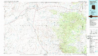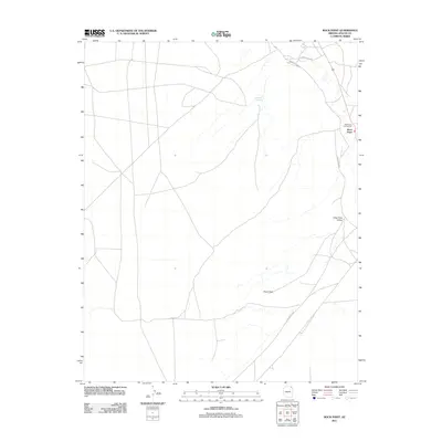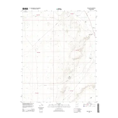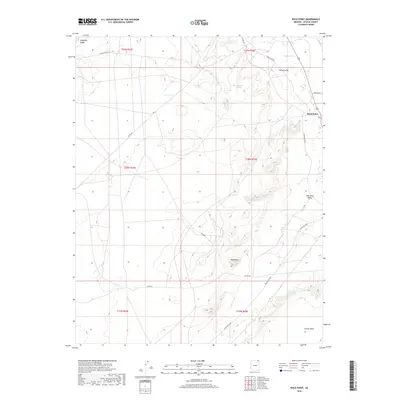
1968 Map of Rock Point
USGS Topo · Published 1972About this map
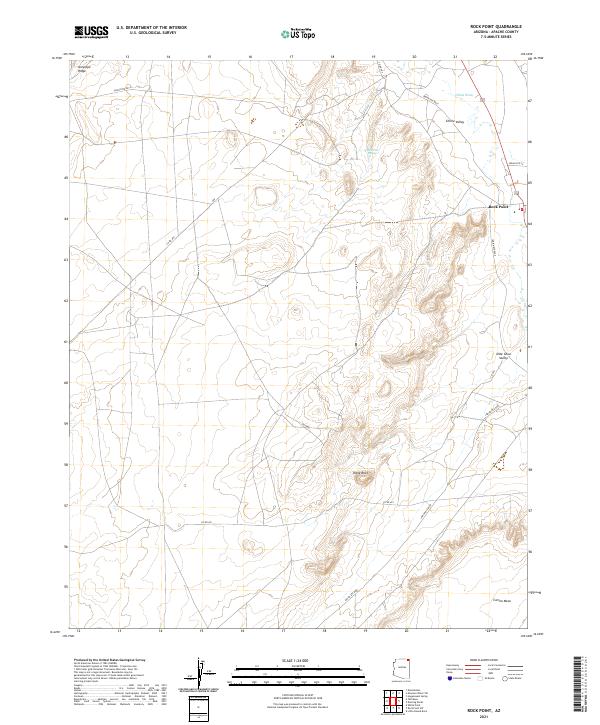
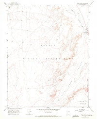
Navajo Indian Reservation lands in northeastern Arizona define this 1968 landscape, centered on the settlement of Rock Point. This high-desert region is characterized by significant topographical shifts between Carson Mesa and the drainage of the Chinle Valley Wash. Local utility and commercial life are represented by a Pumping Sta, a Sewage Disposal Pond, and a Trading Post, while the eastern edge of the quadrangle is marked by the historical Old Indian Treaty Boundary. Natural water sources like Setsiltso Springs and various unnamed Springs provided essential resources in an area where terrain features like Plane Rock and Antelope Ridge serve as primary landmarks. The presence of a Drill Hole suggests subsurface exploration in a valley otherwise defined by its geological formations and traditional reservation boundaries.
Find a feature on this map
17 named features on this map. Tap any name to fly to it.
Don’t see what you’re looking for? This feature index may not catch every label — zoom into the map to look around manually.
Map Details
Editions of this 1968 Rock Point Map
This is the sole edition of this map. No revisions or reprints were ever made.
Historical Maps of Shiprock Agency Through Time
6 maps found