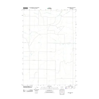
2011 Map of Rock Spring
USGS Topo · Published 2011About this map
Rock Spring and the nearby Mud Spring are the central hydrological features in this rural landscape within Yellowstone County. The terrain is characterized by a sparse network of seasonal drainages, including the eastward-flowing Brown Creek and the meandering course of Lost Creek in the western section of the quadrangle. These water sources have historically guided the placement of the area's secondary road network and original cattle trails.
Find a feature on this map
16 named features on this map. Tap any name to fly to it.
Don’t see what you’re looking for? This feature index may not catch every label — zoom into the map to look around manually.
Map Details
Editions of this 2011 Rock Spring Map
This is the sole edition of this map. No revisions or reprints were ever made.
Other maps of this area

1889 · Big Snowy Mountain
USGS Topo · 1:250,000

1892 · Stillwater
USGS Topo · 1:125,000

1893 · Big Snowy Mountain
USGS Topo · 1:250,000

1954 · Billings
USGS Topo · 1:250,000

1954 · Roundup
USGS Topo · 1:250,000

1956 · Comanche
USGS Topo · 1:24,000

1956 · Hunter Lake
USGS Topo · 1:24,000

1956 · Molt
USGS Topo · 1:24,000

1956 · Wheat Basin
USGS Topo · 1:24,000

1956 · Rock Spring
USGS Topo · 1:24,000