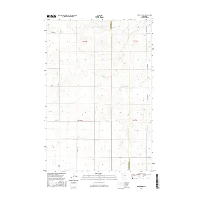
2017 Map of Rock Spring
USGS Topo · Published 2017About this map
The Stillwater and Yellowstone county line bisects this high-plains landscape, where seasonal drainage and vital water sources dictated the patterns of early ranching. The namesake Rock Spring and the aptly named Mud Spring serve as the primary landmarks in an area dominated by large-scale section divisions. To the south, the terrain descends toward the Lake Basin, a notable geographic depression that serves as a collection point for intermittent drainages like Lost Creek and Brown Creek. The road network follows the rigid Public Land Survey System grid, though routes like Buffalo Trail Road and the Pleasant Valley Trail suggest older, more organic paths through the coulees. This 2017 survey reflects the enduring rural character of the region, where family-named roads such as McFarland Road, Theisen Road, and Hageman Road preserve the history of local landholders across the townships.
Find a feature on this map
24 named features on this map. Tap any name to fly to it.
Don’t see what you’re looking for? This feature index may not catch every label — zoom into the map to look around manually.
Map Details
Editions of this 2017 Rock Spring Map
This is the sole edition of this map. No revisions or reprints were ever made.
Other maps of this area

1889 · Big Snowy Mountain
USGS Topo · 1:250,000

1892 · Stillwater
USGS Topo · 1:125,000

1893 · Big Snowy Mountain
USGS Topo · 1:250,000

1954 · Billings
USGS Topo · 1:250,000

1954 · Roundup
USGS Topo · 1:250,000

1956 · Comanche
USGS Topo · 1:24,000

1956 · Hunter Lake
USGS Topo · 1:24,000

1956 · Molt
USGS Topo · 1:24,000

1956 · Wheat Basin
USGS Topo · 1:24,000

1956 · Rock Spring
USGS Topo · 1:24,000