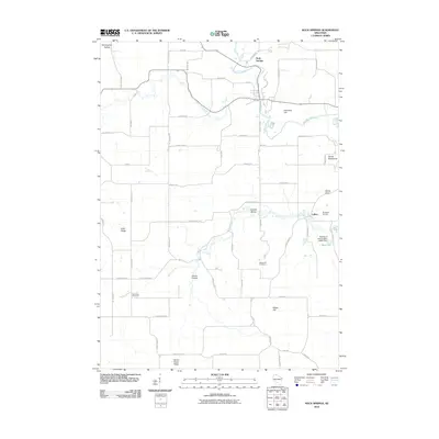
2010 Map of Rock Springs
USGS Topo · Published 2010About this map
The Baraboo River winds through the northern portion of this landscape, anchoring the village of Rock Springs as a focal point of commerce and settlement in Sauk County. Moving south through the terrain, the small community of LaRue and the Flying B Airport mark the central corridor. The area is defined by a series of distinct landforms with evocative names, including Devils Washbowl, Devils Chair, and Camels Hump, which suggest a complex geological history.
Find a feature on this map
56 named features on this map. Tap any name to fly to it.
Don’t see what you’re looking for? This feature index may not catch every label — zoom into the map to look around manually.
Map Details
Editions of this 2010 Rock Springs Map
This is the sole edition of this map. No revisions or reprints were ever made.
Other maps of this area

1901 · Denzer
USGS Topo · 1:62,500

1901 · The Dells
USGS Topo · 1:62,500

1905 · Richland Center
USGS Topo · 1:125,000

1956 · Reedsburg
USGS Topo · 1:62,500

1957 · Wisconsin Dells
USGS Topo · 1:62,500

1957 · Madison
USGS Topo · 1:250,000

1958 · North Freedom
USGS Topo · 1:62,500

1958 · La Crosse
USGS Topo · 1:250,000

1960 · Madison
USGS Topo · 1:250,000

1960 · Plain
USGS Topo · 1:62,500