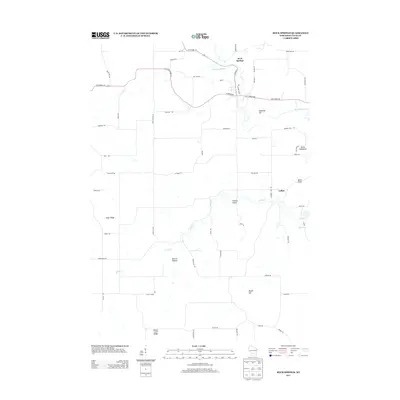
2013 Map of Rock Springs
USGS Topo · Published 2013About this map
The Baraboo River winds through the northern reaches of this Sauk County landscape, passing the community of Rock Springs where N River St and W Broadway meet. The terrain is defined by a series of distinctively named geological formations and ridges, including the prominent Diamond Hill and Camels Hump. To the south, the settlement of LaRue sits near the drainage of Seeley Creek, an area marked by numerous smaller valleys such as Herritz Hollow. This 2013 survey illustrates a rural geography where local roads like Quarry Rd and Golf Course Rd navigate around significant natural landmarks like Devils Washbowl and the long expanse of Elder Ridge. The southern edge of the map is bordered by the high ground of Honey Creek Ridge and Maple Hill.
Find a feature on this map
62 named features on this map. Tap any name to fly to it.
Don’t see what you’re looking for? This feature index may not catch every label — zoom into the map to look around manually.
Map Details
Editions of this 2013 Rock Springs Map
This is the sole edition of this map. No revisions or reprints were ever made.
Other maps of this area

1901 · Denzer
USGS Topo · 1:62,500

1901 · The Dells
USGS Topo · 1:62,500

1905 · Richland Center
USGS Topo · 1:125,000

1956 · Reedsburg
USGS Topo · 1:62,500

1957 · Wisconsin Dells
USGS Topo · 1:62,500

1957 · Madison
USGS Topo · 1:250,000

1958 · North Freedom
USGS Topo · 1:62,500

1958 · La Crosse
USGS Topo · 1:250,000

1960 · Madison
USGS Topo · 1:250,000

1960 · Plain
USGS Topo · 1:62,500