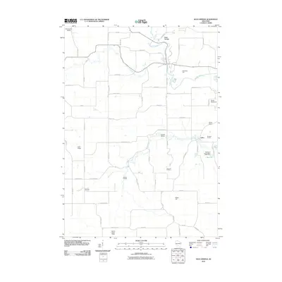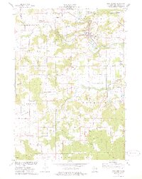
1975 Map of Rock Springs
USGS Topo · Published 1978About this map
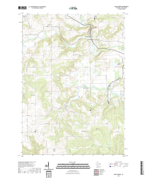
Rock Springs sits at a strategic gap in the bluffs where the Baraboo River and the Chicago and North Western railway carve through the ridge line. This mid-1970s landscape is defined by its deep geological features and specialized transportation history, including the Mid-Continent Railway passing through the small settlement of La Rue. The terrain is marked by numerous landmarks such as Van Hise Rock and the Devils Chair, alongside an extensive network of rural cemeteries like Westfield Ch Cem and East Narrows Prairie Cem. Local industry is evidenced by several scattered quarries, particularly around the river bends. This map documents a period when private aviation was active at the Flying B Landing Strip, and rural community life centered around places like Wiedman Mem Park and various country churches.
Find a feature on this map
66 named features on this map. Tap any name to fly to it.
Don’t see what you’re looking for? This feature index may not catch every label — zoom into the map to look around manually.
Map Details
Editions of this 1975 Rock Springs Map
2 editions found

Historical Maps of Rock Springs Through Time
6 maps found