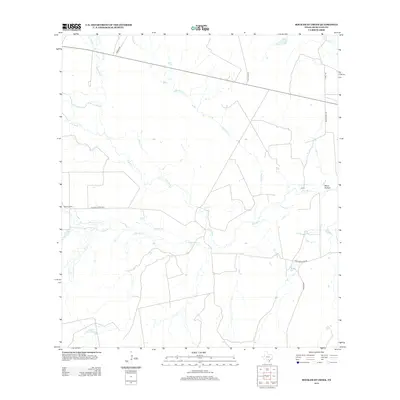
2012 Map of Rockaway Creek
USGS Topo · Published 2012About this map
The Frio River winds through this sparsely settled corner of McMullen County, defining a landscape of creek beds and seasonal water catchments. Ranching and rural access are central to the area's layout, with Old Fowlerton Rd cutting across the central plains and providing connection between isolated landmarks like Muerto Camp. Numerous drainages such as Rockaway Cr, Galinda Cr, and Muerto Cr feed into the river system, illustrating the hydrology of the South Texas brush country. Local land use is further indicated by water management features like the Middle Mule Tank and the presence of named terrain features such as Sand Hollow. This 2012 survey documents the region's road network, including Hayes Ranch Rd and Martin Rd, at a time when the landscape remained dominated by traditional agricultural and pastoral boundaries.
Find a feature on this map
18 named features on this map. Tap any name to fly to it.
Don’t see what you’re looking for? This feature index may not catch every label — zoom into the map to look around manually.
Map Details
Editions of this 2012 Rockaway Creek Map
This is the sole edition of this map. No revisions or reprints were ever made.
Other maps of this area

1925 · Tilden No. 1
USGS Topo · 1:48,000

1930 · Tilden
USGS Topo · 1:62,500

1942 · Fowlerton
USGS Topo · 1:62,500

1942 · Tilden
USGS Topo · 1:62,500

1953 · Crystal City
USGS Topo · 1:250,000

1955 · Crystal City
USGS Topo · 1:250,000

1956 · Hindes
USGS Topo · 1:62,500

1956 · Franklin Settlement
USGS Topo · 1:62,500

1956 · Fowlerton
USGS Topo · 1:62,500

1961 · Crystal City
USGS Topo · 1:250,000