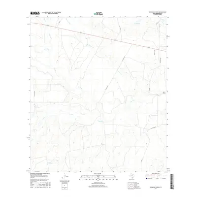
2016 Map of Rockaway Creek
USGS Topo · Published 2016About this map
Frio River and its various tributaries define this portion of McMullen County, where the landscape is marked by a complex network of seasonal creeks and drainage basins. The confluence of Rockaway Creek with the river highlights a low-lying terrain characterized by features such as Mossy Slough and Sand Hollow. This 2016 survey illustrates the cattle ranching and rural infrastructure of the region, where numerous named tanks like Middle Mule Tank and small impoundments such as Kuerkendall Lake provide vital water sources in an otherwise arid environment.
Find a feature on this map
21 named features on this map. Tap any name to fly to it.
Don’t see what you’re looking for? This feature index may not catch every label — zoom into the map to look around manually.
Map Details
Editions of this 2016 Rockaway Creek Map
This is the sole edition of this map. No revisions or reprints were ever made.
Other maps of this area

1925 · Tilden No. 1
USGS Topo · 1:48,000

1930 · Tilden
USGS Topo · 1:62,500

1942 · Fowlerton
USGS Topo · 1:62,500

1942 · Tilden
USGS Topo · 1:62,500

1953 · Crystal City
USGS Topo · 1:250,000

1955 · Crystal City
USGS Topo · 1:250,000

1956 · Hindes
USGS Topo · 1:62,500

1956 · Franklin Settlement
USGS Topo · 1:62,500

1956 · Fowlerton
USGS Topo · 1:62,500

1961 · Crystal City
USGS Topo · 1:250,000