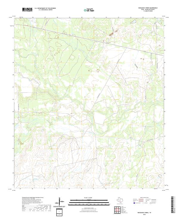
2022 Map of Rockaway Creek
USGS Topo · Published 2022About this map
The Frio River meanders across this landscape of the South Texas brush country, where intricate drainage patterns define the territory. Numerous named tributaries and seasonal washes, including Rockaway Cr and Muerto Cr, converge toward the river basin, illustrating the hydrology of McMullen County. These watercourses are vital landmarks in a region characterized by large ranch holdings and dispersed infrastructure, often situated near features like Mossy Slough or the Middle Mule Tank.
Find a feature on this map
22 named features on this map. Tap any name to fly to it.
Don’t see what you’re looking for? This feature index may not catch every label — zoom into the map to look around manually.
Map Details
Editions of this 2022 Rockaway Creek Map
This is the sole edition of this map. No revisions or reprints were ever made.
Other maps of this area

1925 · Tilden No. 1
USGS Topo · 1:48,000

1930 · Tilden
USGS Topo · 1:62,500

1942 · Fowlerton
USGS Topo · 1:62,500

1942 · Tilden
USGS Topo · 1:62,500

1953 · Crystal City
USGS Topo · 1:250,000

1955 · Crystal City
USGS Topo · 1:250,000

1956 · Hindes
USGS Topo · 1:62,500

1956 · Franklin Settlement
USGS Topo · 1:62,500

1956 · Fowlerton
USGS Topo · 1:62,500

1961 · Crystal City
USGS Topo · 1:250,000