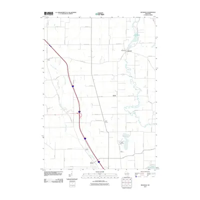
2010 Map of Rockdale
USGS Topo · Published 2010About this map
Koshkonong Creek and Saunders Creek define the drainage of this rural landscape, which anchors several long-standing agricultural communities at the start of the 21st century. The village of Rockdale sits at a prominent bend in the creek, centered around the Rockdale Dam and the expansive Rockdale Millpond 134. This area reflects a stable pattern of land use, where section-line roads like Tobacco Rd and Maple Grove Rd connect scattered farmsteads with the small settlements of Utica, Hillside, and Albion.
Find a feature on this map
48 named features on this map. Tap any name to fly to it.
Don’t see what you’re looking for? This feature index may not catch every label — zoom into the map to look around manually.
Map Details
Editions of this 2010 Rockdale Map
This is the sole edition of this map. No revisions or reprints were ever made.
Other maps of this area

1890 · Sun Prairie
USGS Topo · 1:62,500

1890 · Stoughton
USGS Topo · 1:62,500

1891 · Waterloo
USGS Topo · 1:62,500

1891 · Koshkonong
USGS Topo · 1:62,500

1894 · Waterloo
USGS Topo · 1:62,500

1894 · Koshkonong
USGS Topo · 1:62,500

1896 · Sun Prairie
USGS Topo · 1:62,500

1905 · Sun Prairie
USGS Topo · 1:62,500

1906 · Koshkonong
USGS Topo · 1:62,500

1907 · Sun Prairie
USGS Topo · 1:62,500