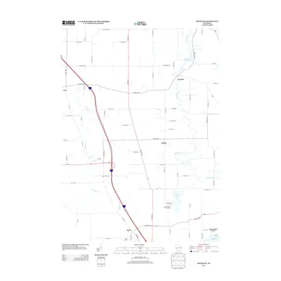
2013 Map of Rockdale
USGS Topo · Published 2013About this map
Rockdale sits at the northern end of this corridor where the Rockdale Millpond 134 marks a historically significant widening of Koshkonong Cr. The landscape is defined by the winding paths of these waterways, including Saunders Cr, which flow through a region of scattered small settlements and agricultural plots. Moving south from Utica toward Albion, the map records the modernization of the road network, centered on the intersection of major state and interstate routes.
Find a feature on this map
65 named features on this map. Tap any name to fly to it.
Don’t see what you’re looking for? This feature index may not catch every label — zoom into the map to look around manually.
Map Details
Editions of this 2013 Rockdale Map
This is the sole edition of this map. No revisions or reprints were ever made.
Other maps of this area

1890 · Sun Prairie
USGS Topo · 1:62,500

1890 · Stoughton
USGS Topo · 1:62,500

1891 · Waterloo
USGS Topo · 1:62,500

1891 · Koshkonong
USGS Topo · 1:62,500

1894 · Waterloo
USGS Topo · 1:62,500

1894 · Koshkonong
USGS Topo · 1:62,500

1896 · Sun Prairie
USGS Topo · 1:62,500

1905 · Sun Prairie
USGS Topo · 1:62,500

1906 · Koshkonong
USGS Topo · 1:62,500

1907 · Sun Prairie
USGS Topo · 1:62,500