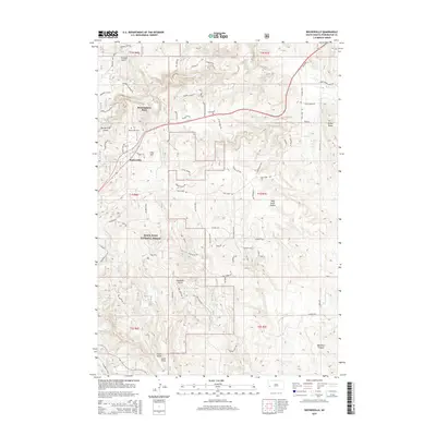
2015 Map of Rockerville
USGS Topo · Published 2015About this map
Rockerville and the Black Hills National Forest define this 2015 landscape, where mining history and modern geography overlap. The presence of the Deadman Placer mine and Gold Hill points to the area's prospecting roots, while the Rockerville Cem remains a primary site for genealogical research. Unique landforms like the Stratosphere Bowl and Spiken Ridge highlight the diverse topography surrounding Spring Cr.
Find a feature on this map
77 named features on this map. Tap any name to fly to it.
Don’t see what you’re looking for? This feature index may not catch every label — zoom into the map to look around manually.
Map Details
Editions of this 2015 Rockerville Map
This is the sole edition of this map. No revisions or reprints were ever made.
Other maps of this area

1893 · Rapid
USGS Topo · 1:125,000

1894 · Hermosa
USGS Topo · 1:125,000

1898 · Rapid
USGS Topo · 1:125,000

1901 · Hermosa
USGS Topo · 1:125,000

1903 · Rapid
USGS Topo · 1:125,000

1953 · Hermosa NW
USGS Topo · 1:24,000

1953 · Rapid City East
USGS Topo · 1:24,000

1953 · Hermosa
USGS Topo · 1:24,000

1953 · Rapid City West
USGS Topo · 1:24,000

1953 · Rapid City
USGS Topo · 1:250,000