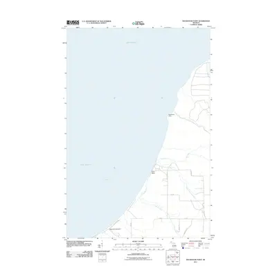
2011 Map of Rockhouse Point
USGS Topo · Published 2011About this map
Lake Superior defines the western edge of this coastal survey, where the shoreline transitions from the namesake Rockhouse Point down to the recreational stretches of Agate Beach and Santa Monica Beach. The interior landscape is shaped by the drainage systems of the Elm River, South Branch Elm River, and Little Elm River, which meander toward Misery Bay. This era of the Keweenaw Peninsula is marked by a network of rural access routes and local roads, such as Misery Bay Rd and Old Rink Rd, serving the small coastal clearings and seasonal destinations along the water. The map provides a precise look at the hydrology and terrain of this Lake Superior frontage before further modern development, preserving the layout of these northern Michigan shorelines and their connecting backcountry trails.
Find a feature on this map
17 named features on this map. Tap any name to fly to it.
Don’t see what you’re looking for? This feature index may not catch every label — zoom into the map to look around manually.
Map Details
Editions of this 2011 Rockhouse Point Map
This is the sole edition of this map. No revisions or reprints were ever made.
Other maps of this area

1950 · Greenland
USGS Topo · 1:62,500

1951 · Greenland
USGS Topo · 1:62,500

1954 · Graveraet River
USGS Topo · 1:24,000

1954 · Beacon Hill
USGS Topo · 1:24,000

1954 · Rockhouse Point
USGS Topo · 1:24,000

1954 · Winona
USGS Topo · 1:62,500

1958 · Hancock
USGS Topo · 1:250,000

1958 · Iron River
USGS Topo · 1:250,000

1960 · Iron River
USGS Topo · 1:250,000

1960 · Hancock
USGS Topo · 1:250,000