
1954 Map of Beacon Hill
USGS Topo · Published 1956About this map
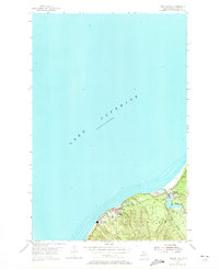
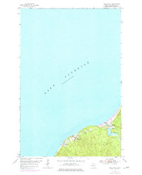
Copper Range rail lines define the industrial character of this Lake Superior shoreline in Stanton township during the mid-1950s. The settlement of Redridge serves as a focal point for the region’s hydraulic history, anchored by the Redridge Dam and the nearby Salmon Trout River. Evidence of the area's mining and milling heritage is clearly marked by a prominent Stack and extensive Tailings deposits along the coast, which contrast with the community structures of Freda and Beacon Hill. Small-scale local institutions, including the Beacon Hill Sch, and recreational spaces like the Boy Scout Camp indicate a settled, multi-generational community existing alongside the heavy infrastructure of the Upper Peninsula's copper country.
Find a feature on this map
12 named features on this map. Tap any name to fly to it.
Don’t see what you’re looking for? This feature index may not catch every label — zoom into the map to look around manually.
Map Details
Editions of this 1954 Beacon Hill Map
Other maps of this area

1915 · Houghton
USGS Topo · 1:62,500

1946 · South Range
USGS Topo · 1:24,000

1948 · South Range
USGS Topo · 1:24,000

1954 · Graveraet River
USGS Topo · 1:24,000

1954 · Oskar
USGS Topo · 1:24,000

1954 · Rockhouse Point
USGS Topo · 1:24,000

1954 · Houghton
USGS Topo · 1:62,500

1958 · Hancock
USGS Topo · 1:250,000

1960 · Hancock
USGS Topo · 1:250,000

1961 · Hancock
USGS Topo · 1:250,000