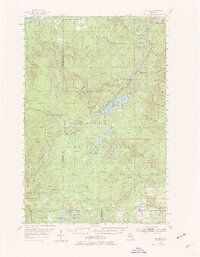
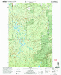
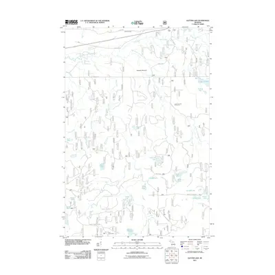
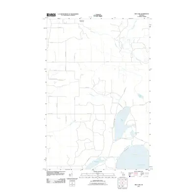
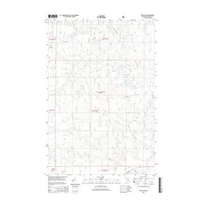
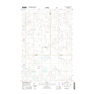
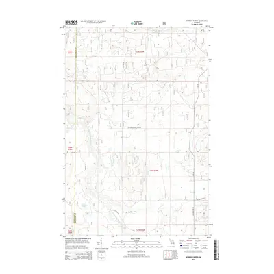
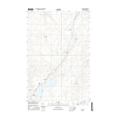
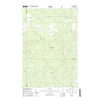
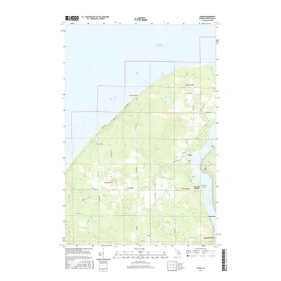
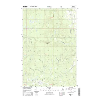
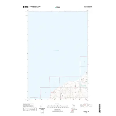
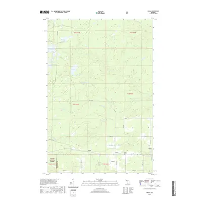
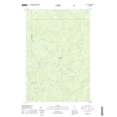
1954 Map of Oskar
USGS Topo · Published 1955About this map
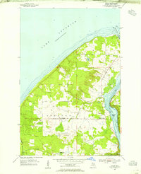
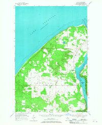
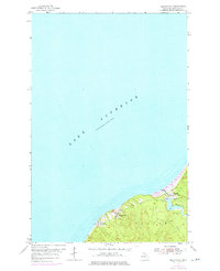
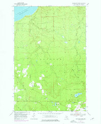
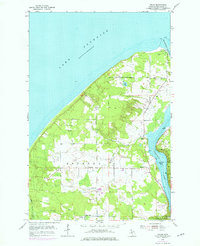
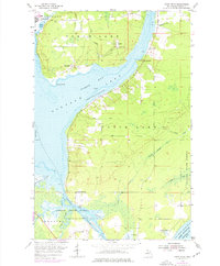
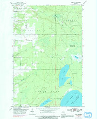
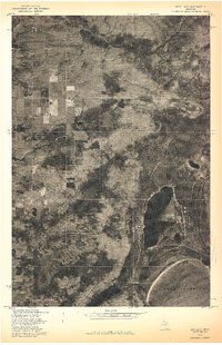
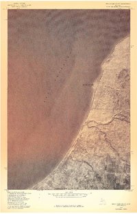
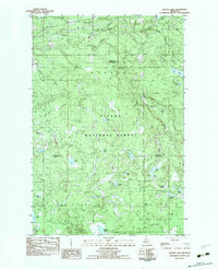
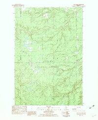
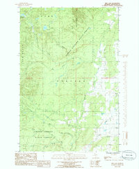
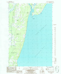
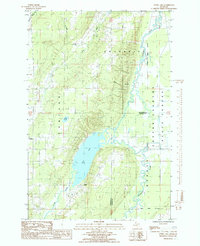
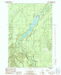
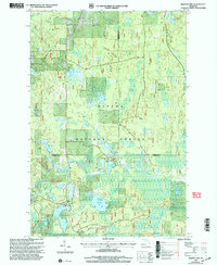
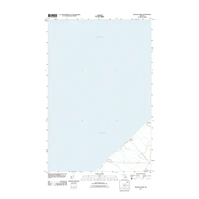
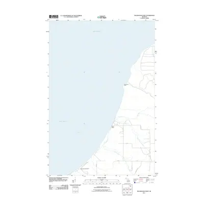
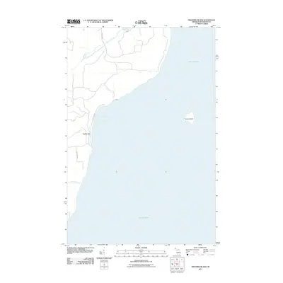
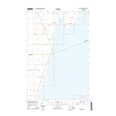
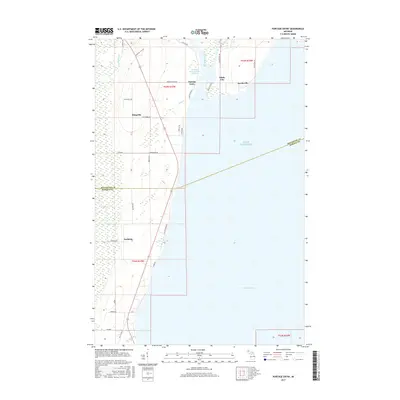
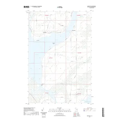
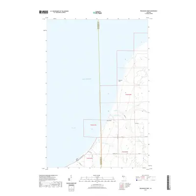
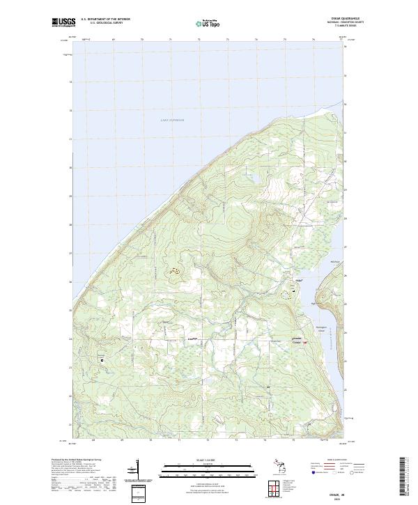
Lake Superior dominates the northern horizon of this mid-century survey, where the rugged Keweenaw Peninsula meets the vital waters of the Portage Lake Ship Canal. This landscape is defined by the transition from coastal highlands down to the shorelines of Portage Lake, featuring prominent elevations like High Point and Mill Point. Small rural clusters such as Liminga, Oskar, and Schmidt Corner are connected by a network of local roads that trace the contours of Stanton and Adams townships. This map offers a clear view of the social infrastructure of the era, from the Onnela Sch and Redridge Cem to the County Hospital located near the southern map boundary. The presence of numerous Gravel Pits reflects the local extractive economy, while Harrington Island sits as a notable landmark within the canal's passage.
Find a feature on this map
24 named features on this map. Tap any name to fly to it.
Don’t see what you’re looking for? This feature index may not catch every label — zoom into the map to look around manually.
Map Details
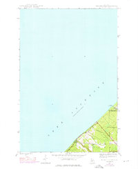
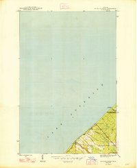
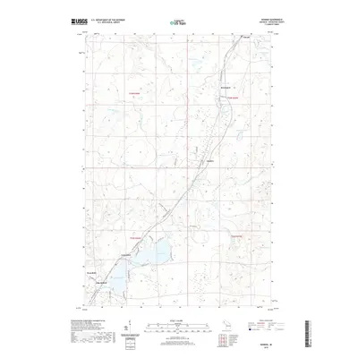
Editions of this 1954 Oskar Map
Historical Maps of Houghton Through Time
141 maps found
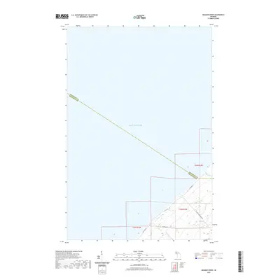
1946 Muggun Creek
Houghton County, MI
1948 Muggun Creek
Houghton County, MI
1954 Beacon Hill
Houghton County, MI
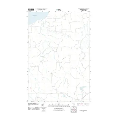
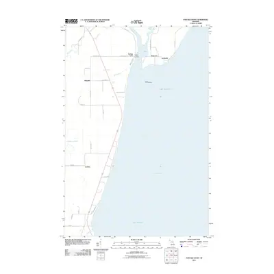
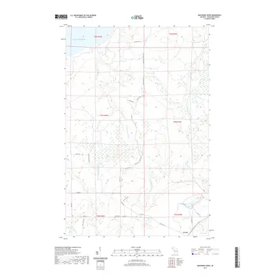
1954 Graveraet River
Houghton County, MI
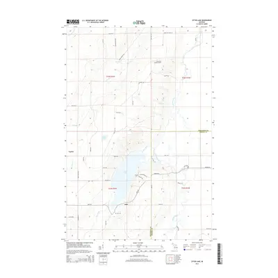
1954 Oskar
Houghton County, MI
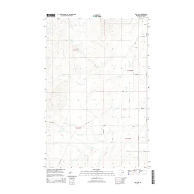
1954 Point Mills
Houghton County, MI
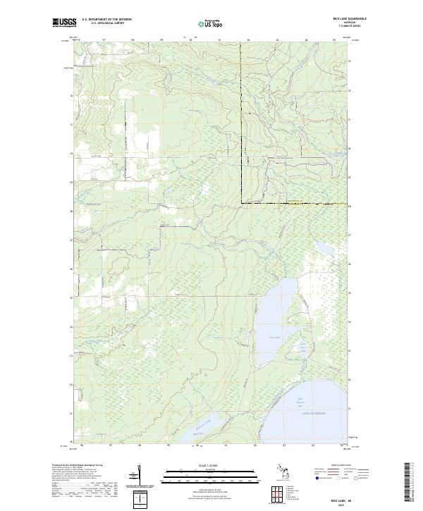
1954 Rice Lake
Houghton County, MI
1954 Rockhouse Point
Houghton County, MI
1954 Rousseau
Houghton County, MI
1954 Traverse Island
Houghton County, MI
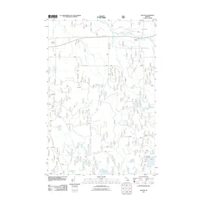
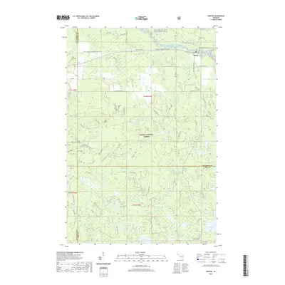
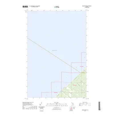
1954 Winona
Houghton County, MI
1978 Beacon Hill
Houghton County, MI
1978 Muggun Creek
Houghton County, MI
1978 Point Mills
Houghton County, MI
1978 Rice Lake
Houghton County, MI
1978 Rockhouse Point
Houghton County, MI
1982 Donken
Houghton County, MI
1982 Echo Lake
Houghton County, MI
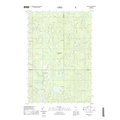
1982 Glitter Lake
Houghton County, MI

1982 Kenton
Houghton County, MI

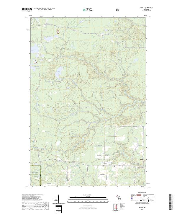
1982 Nisula
Houghton County, MI

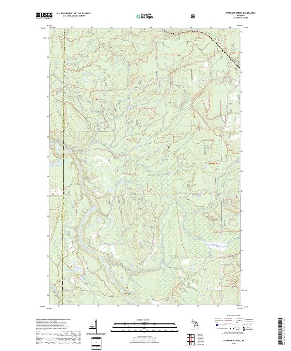
1982 Sparrow Rapids
Houghton County, MI
1982 Vista Falls
Houghton County, MI
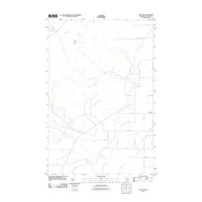
1984 Pine Lake
Houghton County, MI
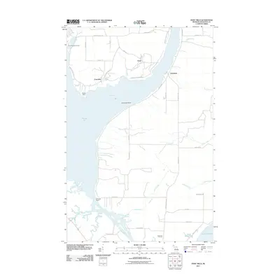
1984 Portage Entry
Houghton County, MI

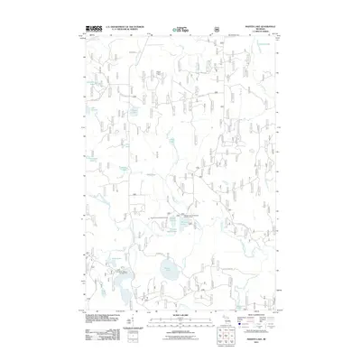
1985 Marten Lake
Houghton County, MI
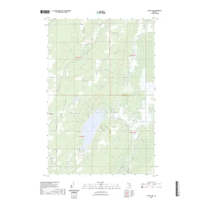
1985 Otter Lake
Houghton County, MI
1985 Prickett Lake
Houghton County, MI

1985 Sidnaw
Houghton County, MI
1999 Glitter Lake
Houghton County, MI
1999 Kenton
Houghton County, MI
1999 Marten Lake
Houghton County, MI
1999 Prickett Lake
Houghton County, MI
1999 Sidnaw
Houghton County, MI
1999 Sparrow Rapids
Houghton County, MI
1999 Vista Falls
Houghton County, MI
2011 Beacon Hill
Houghton County, MI
2011 Donken
Houghton County, MI
2011 Echo Lake
Houghton County, MI
2011 Glitter Lake
Houghton County, MI
2011 Graveraet River
Houghton County, MI
2011 Kenton
Houghton County, MI
2011 Marten Lake
Houghton County, MI
2011 Muggun Creek
Houghton County, MI
2011 Nisula
Houghton County, MI
2011 Oskar
Houghton County, MI
2011 Otter Lake
Houghton County, MI
2011 Pine Lake
Houghton County, MI
2011 Point Mills
Houghton County, MI
2011 Portage Entry
Houghton County, MI
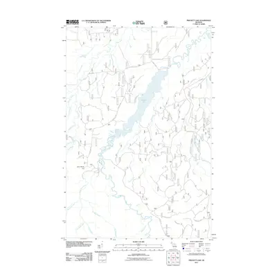
2011 Prickett Lake
Houghton County, MI
2011 Rice Lake
Houghton County, MI
2011 Rockhouse Point
Houghton County, MI
2011 Sidnaw
Houghton County, MI
2011 Sparrow Rapids
Houghton County, MI
2011 Traverse Island
Houghton County, MI
2011 Vista Falls
Houghton County, MI
2014 Beacon Hill
Houghton County, MI
2014 Donken
Houghton County, MI
2014 Echo Lake
Houghton County, MI
2014 Glitter Lake
Houghton County, MI
2014 Graveraet River
Houghton County, MI
2014 Kenton
Houghton County, MI
2014 Marten Lake
Houghton County, MI
2014 Muggun Creek
Houghton County, MI
2014 Nisula
Houghton County, MI
2014 Oskar
Houghton County, MI
2014 Otter Lake
Houghton County, MI
2014 Pine Lake
Houghton County, MI
2014 Point Mills
Houghton County, MI
2014 Portage Entry
Houghton County, MI
2014 Prickett Lake
Houghton County, MI
2014 Rice Lake
Houghton County, MI
2014 Rockhouse Point
Houghton County, MI
2014 Sidnaw
Houghton County, MI
2014 Sparrow Rapids
Houghton County, MI
2014 Traverse Island
Houghton County, MI
2014 Vista Falls
Houghton County, MI
2017 Beacon Hill
Houghton County, MI
2017 Donken
Houghton County, MI
2017 Echo Lake
Houghton County, MI
2017 Glitter Lake
Houghton County, MI
2017 Graveraet River
Houghton County, MI
2017 Kenton
Houghton County, MI
2017 Marten Lake
Houghton County, MI
2017 Muggun Creek
Houghton County, MI
2017 Nisula
Houghton County, MI
2017 Oskar
Houghton County, MI
2017 Otter Lake
Houghton County, MI
2017 Pine Lake
Houghton County, MI
2017 Point Mills
Houghton County, MI
2017 Portage Entry
Houghton County, MI
2017 Prickett Lake
Houghton County, MI
2017 Rice Lake
Houghton County, MI
2017 Rockhouse Point
Houghton County, MI
2017 Sidnaw
Houghton County, MI
2017 Sparrow Rapids
Houghton County, MI
2017 Traverse Island
Houghton County, MI
2017 Vista Falls
Houghton County, MI
2019 Beacon Hill
Houghton County, MI
2019 Donken
Houghton County, MI
2019 Echo Lake
Houghton County, MI
2019 Glitter Lake
Houghton County, MI
2019 Graveraet River
Houghton County, MI
2019 Kenton
Houghton County, MI
2019 Marten Lake
Houghton County, MI
2019 Muggun Creek
Houghton County, MI
2019 Nisula
Houghton County, MI
2019 Oskar
Houghton County, MI
2019 Otter Lake
Houghton County, MI
2019 Pine Lake
Houghton County, MI
2019 Point Mills
Houghton County, MI
2019 Portage Entry
Houghton County, MI
2019 Prickett Lake
Houghton County, MI
2019 Rice Lake
Houghton County, MI
2019 Rockhouse Point
Houghton County, MI
2019 Sidnaw
Houghton County, MI
2019 Sparrow Rapids
Houghton County, MI
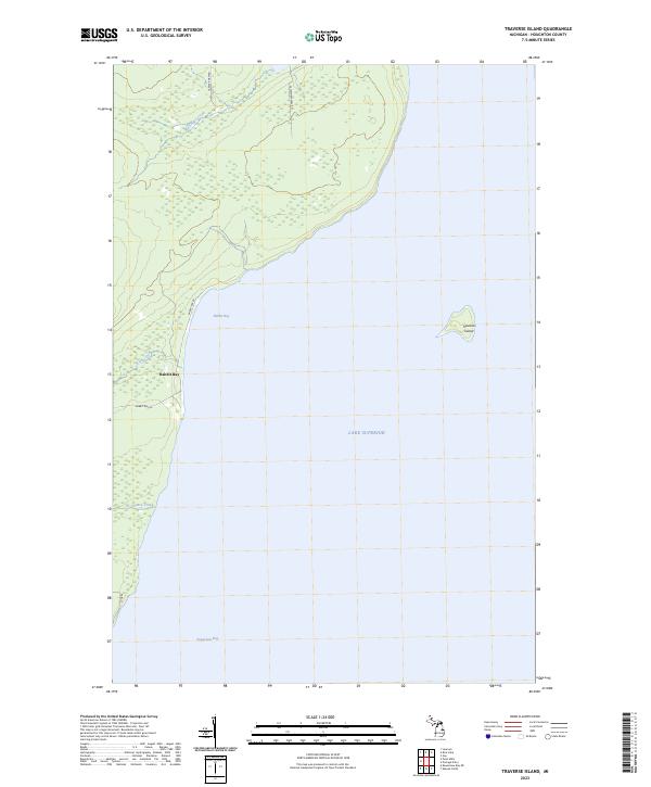
2019 Traverse Island
Houghton County, MI
2019 Vista Falls
Houghton County, MI
2023 Beacon Hill
Houghton County, MI
2023 Donken
Houghton County, MI
2023 Echo Lake
Houghton County, MI
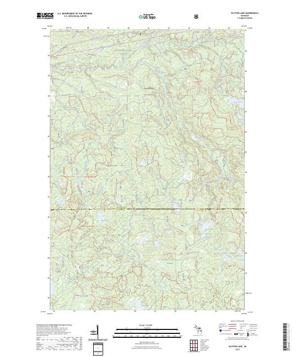
2023 Glitter Lake
Houghton County, MI
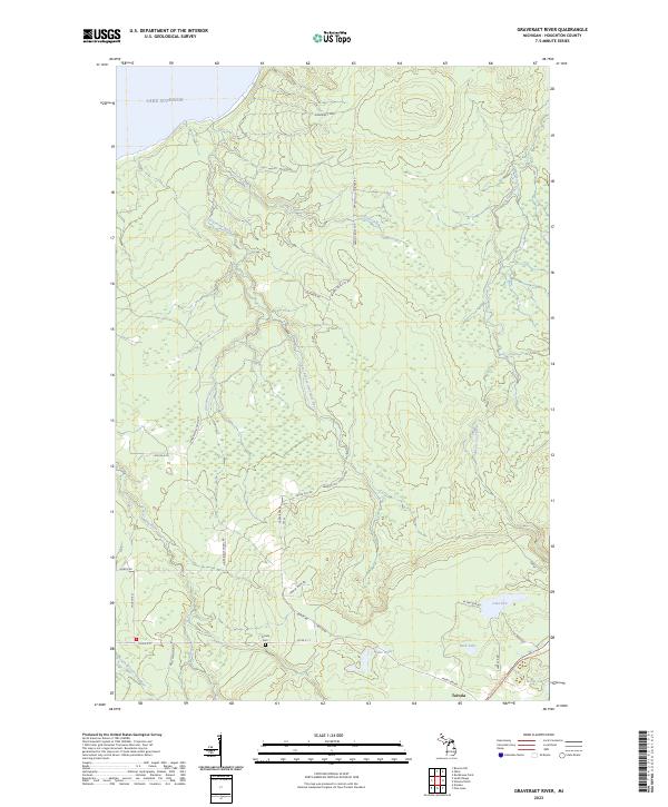
2023 Graveraet River
Houghton County, MI
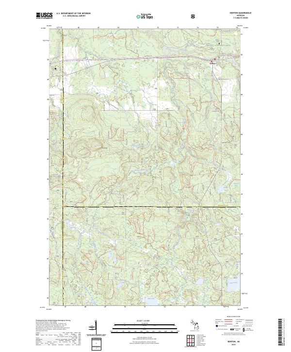
2023 Kenton
Houghton County, MI
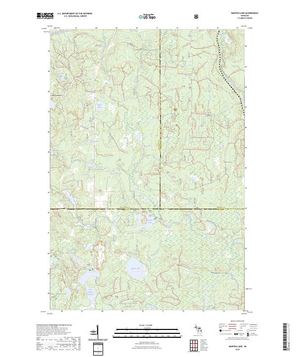
2023 Marten Lake
Houghton County, MI
2023 Muggun Creek
Houghton County, MI
2023 Nisula
Houghton County, MI
2023 Oskar
Houghton County, MI
2023 Otter Lake
Houghton County, MI
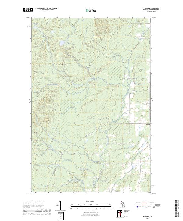
2023 Pine Lake
Houghton County, MI
2023 Point Mills
Houghton County, MI
2023 Portage Entry
Houghton County, MI
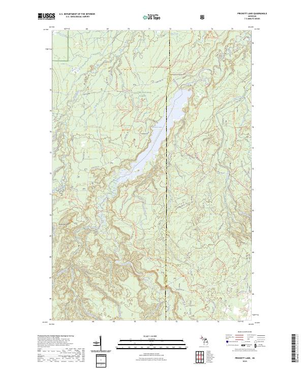
2023 Prickett Lake
Houghton County, MI
2023 Rice Lake
Houghton County, MI
2023 Rockhouse Point
Houghton County, MI
2023 Sidnaw
Houghton County, MI
2023 Sparrow Rapids
Houghton County, MI
2023 Traverse Island
Houghton County, MI
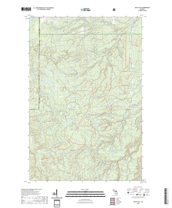
2023 Vista Falls
Houghton County, MI