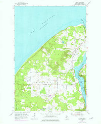
1954 Map of Oskar
USGS Topo · Published 1976About this map
Lake Superior dominates the northern horizon of this coastal Houghton County landscape, where the Portage Lake Ship Canal cuts through to Portage Lake. This 1954 survey, updated with 1975 photorevisions, captures the rural Finnish heritage of the Keweenaw Peninsula through small agricultural and residential clusters like Liminga, Oskar, and Keranen. The map details a community infrastructure built around natural resources and public service, featuring numerous gravel pits and the County Hospital on the southern edge near Adams.
Find a feature on this map
23 named features on this map. Tap any name to fly to it.
Don’t see what you’re looking for? This feature index may not catch every label — zoom into the map to look around manually.
Map Details
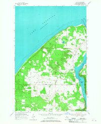
Editions of this 1954 Oskar Map

Other maps of this area

1915 · Houghton
USGS Topo · 1:62,500

1946 · Hancock
USGS Topo · 1:24,000

1946 · Chassell
USGS Topo · 1:24,000

1946 · South Range
USGS Topo · 1:24,000

1946 · Muggun Creek
USGS Topo · 1:24,000

1948 · South Range
USGS Topo · 1:24,000
1948 · Muggun Creek
USGS Topo · 1:24,000

1948 · Hancock
USGS Topo · 1:24,000

1948 · Chassell
USGS Topo · 1:24,000

1954 · Graveraet River
USGS Topo · 1:24,000