Loading...
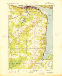
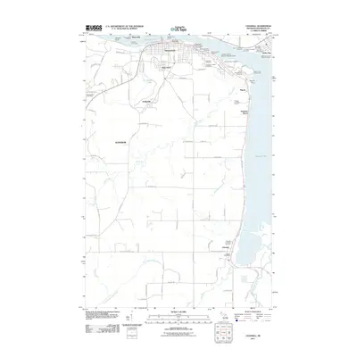
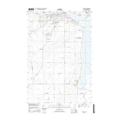
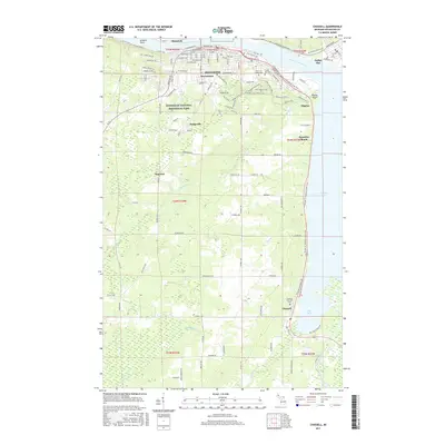
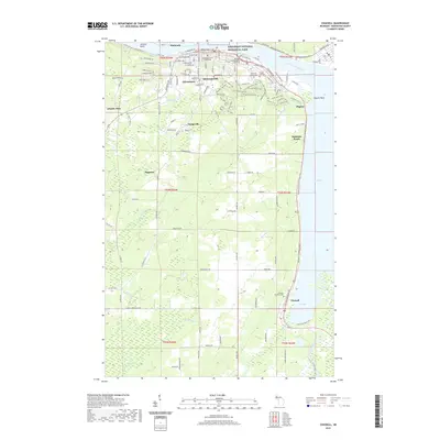
Loading map...1948 Map of Chassell
USGS Topo · Published 1948About this map
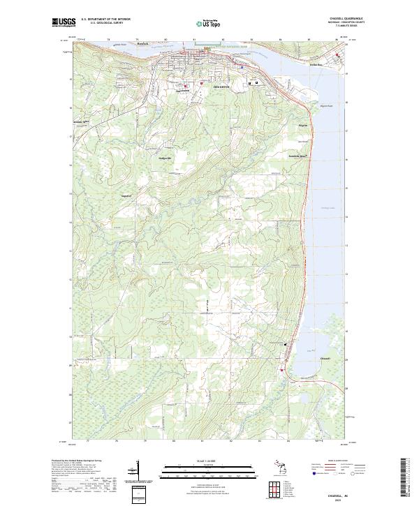
The copper mining landscape of Michigan's Keweenaw Peninsula is captured here in the late 1940s, centered on the industrial corridor along Portage Lake. Between the population centers of Houghton and Hancock, the terrain reveals a transition from dense urban development to the extraction-based settlements of Hurontown, Dodgeville, and Atlantic Mine. The influence of the mining industry is evident in the rail networks of the Copper Range and the Duluth South Shore and Atlantic, which served the local economy and the Isle Royale Mine.
Find a feature on this map
35 named features on this map. Tap any name to fly to it.
Don’t see what you’re looking for? This feature index may not catch every label — zoom into the map to look around manually.
Map Details
Date Portrayed1948
Date Published1948
PublisherU.S. Geological Survey
Map TypeTopographic
Scale1:24,000
Physical Dimensions22 x 27 inches
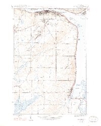
Editions of this 1948 Chassell Map
2 editions found
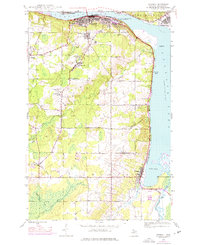
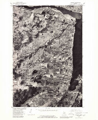
Historical Maps of Houghton Through Time
8 maps found
Featured Locations
- Hancock, MI
- Houghton, MI
- Best, Chassell Township
- Chassell, Chassell Township
- Hurontown, Portage Township
Source Details
SourceU.S. Geological Survey
CopyrightPublic Domain