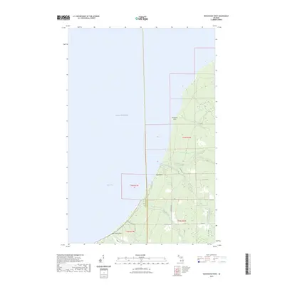
2023 Map of Rockhouse Point
USGS Topo · Published 2023About this map
Rockhouse Point stands as a prominent geographic marker along the shoreline of Lake Superior, where the coastal geography is defined by the convergence of several significant waterways. The Elm River and its tributaries, including the Little Elm River and South Branch Elm River, drain the timbered interior of the Keweenaw Peninsula into the lake. The coastline features the distinct stretches of Agate Beach and the broad expanse of Misery Bay, reflecting the region's long-standing connection to the water.
Find a feature on this map
23 named features on this map. Tap any name to fly to it.
Don’t see what you’re looking for? This feature index may not catch every label — zoom into the map to look around manually.
Map Details
Editions of this 2023 Rockhouse Point Map
This is the sole edition of this map. No revisions or reprints were ever made.
Other maps of this area

1950 · Greenland
USGS Topo · 1:62,500

1951 · Greenland
USGS Topo · 1:62,500

1954 · Graveraet River
USGS Topo · 1:24,000

1954 · Beacon Hill
USGS Topo · 1:24,000

1954 · Rockhouse Point
USGS Topo · 1:24,000

1954 · Winona
USGS Topo · 1:62,500

1958 · Hancock
USGS Topo · 1:250,000

1958 · Iron River
USGS Topo · 1:250,000

1960 · Iron River
USGS Topo · 1:250,000

1960 · Hancock
USGS Topo · 1:250,000