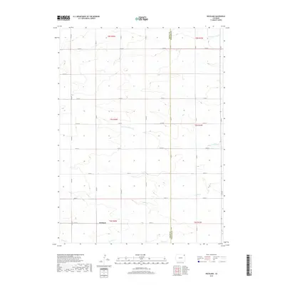
2019 Map of Rockland
USGS Topo · Published 2019About this map
Rockland serves as the central point of interest in this high-plains landscape, situated at the boundary of Logan and Phillips counties. The terrain is defined by a network of drainage systems, including the North Fork Frenchman Creek and the South Fork Frenchman Creek, which carve gentle patterns across the rural acreage. Local transport is organized around a rigid grid of county roads such as Co RD 89 and Co RD 26, reflecting the systematic land division of the American West. The presence of Sandy Creek and Patent Creek in the southern portion of the quadrangle suggests the vital importance of seasonal water sources for the agricultural operations and small settlements established in this corner of Colorado.
Find a feature on this map
27 named features on this map. Tap any name to fly to it.
Don’t see what you’re looking for? This feature index may not catch every label — zoom into the map to look around manually.
Map Details
Editions of this 2019 Rockland Map
This is the sole edition of this map. No revisions or reprints were ever made.
Other maps of this area

1954 · Sterling
USGS Topo · 1:250,000

1958 · Sterling
USGS Topo · 1:250,000

1962 · Fleming
USGS Topo · 1:24,000

1962 · Haxtun East
USGS Topo · 1:24,000

1962 · Haxtun West
USGS Topo · 1:24,000

1971 · Clarkville NE
USGS Topo · 1:24,000

1971 · Haxtun SE
USGS Topo · 1:24,000

1972 · Clarkville
USGS Topo · 1:24,000

1972 · New Haven
USGS Topo · 1:24,000

1972 · St Petersburg
USGS Topo · 1:24,000